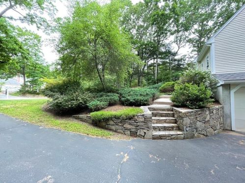
Market Activities
To date, we have no information about market activities in 2025
Jul 2021
Sold
Jun 2021
Sold
Jun 2021
Sold
King St Fire Incident History
To date, we have no information about fire incidents in 2025
29 Apr 2017
Brush, or brush and grass mixture fire
Property Use —
1 or 2 family dwelling
Area of Origin —
Wildland, woods
First Ignition —
Light vegetation - not crop, including grass
13 Feb 2009
Building fires
Property Use —
High school/junior high school/middle school
Area of Origin —
Function area, other
First Ignition —
Electrical wire, cable insulation
Heat Source —
Arcing
19 Apr 2006
Brush, or brush and grass mixture fire
Property Use —
1 or 2 family dwelling
Area of Origin —
Wildland, woods
First Ignition —
Light vegetation - not crop, including grass
78 King St incidents registered in FEMA
(Federal Emergency Management Agency)
To date, we have no information about incidents registered in FEMA in 2025
04 Jul 2013
Arcing, shorted electrical equipment
Property Use —
Residential street, road or residential driveway
02 Sep 2011
Arcing, shorted electrical equipment
Property Use —
1 or 2 family dwelling
King St Incidents registered in FEMA
(Federal Emergency Management Agency)
To date, we have no information about incidents registered in FEMA in 2025
01 Dec 2015
Hazardous condition, other
Property Use —
High school/junior high school/middle school
22 Oct 2015
Hazardous condition, other
Property Use —
High school/junior high school/middle school
19 Jul 2015
Hazardous condition, other
Property Use —
1 or 2 family dwelling
11 May 2015
Arcing, shorted electrical equipment
Property Use —
High school/junior high school/middle school
Properties Nearby
| Street Address | Residens/Landlords | |
|---|---|---|
8 King St, Norfolk, MA 02056-1724 Single Family
|
Donna M Campbell, Greg P Campbell |