Cost estimate history
| Year | Tax | Assessment | Market |
|---|---|---|---|
| 2013 | N/A | $22,340 | $223,300 |
| 2012 | $1,637 | N/A | N/A |
Market Activities
Linwood Dr Fire Incident History
To date, we have no information about fire incidents in 2025
10 Aug 2013
Trash or rubbish fire, contained
Property Use —
1 or 2 family dwelling
Area of Origin —
Open area - outside; included are farmland, field
First Ignition —
Rubbish, trash, or waste
Heat Source —
Hot ember or ash
4600 Linwood Dr incidents registered in FEMA
(Federal Emergency Management Agency)
To date, we have no information about incidents registered in FEMA in 2025
11 Jun 2003
Service Call, other
Property Use —
1 or 2 family dwelling
10 Jun 2003
Assist invalid
Property Use —
1 or 2 family dwelling
09 Jun 2003
Assist invalid
Property Use —
1 or 2 family dwelling
03 Jun 2003
Assist invalid
Property Use —
1 or 2 family dwelling
Linwood Dr Incidents registered in FEMA
(Federal Emergency Management Agency)
To date, we have no information about incidents registered in FEMA in 2025
22 Nov 2015
Gas leak (natural gas or LPG)
Property Use —
1 or 2 family dwelling
03 Dec 2014
Cooking fire, confined to container
Property Use —
1 or 2 family dwelling
11 Aug 2013
Dumpster or other outside trash receptacle fire
Property Use —
1 or 2 family dwelling
25 Oct 2012
Power line down
Property Use —
1 or 2 family dwelling
Properties Nearby
| Street Address | Residens/Landlords | |
|---|---|---|
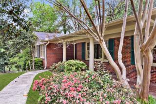
204 Linwood Dr, Birmingham, AL 35209-3924 Single Family Residential
|
Benjamin P Donaldson, David A Donaldson | |
219 Linwood Dr, Birmingham, AL 35209-3943 Single Family Residential
|
James J Awbrey, Chad D Moseley |