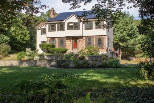
46 Grove St Norfolk, MA 02056 / 1786

Residence for Single Family

(UPDATED: 08/14/2025)
  • 4 Beds
  • 3 Baths
  • 2.614 square feet
Sold Jan 2018
$519,900
Property Report

Information about property on 46 Grove St, Norfolk MA, 02056-1786. Find out owner contacts, building history, price, neighborhood at Homemetry Address Directory.

Property Details

This property with near twenty-six hundred square feet of habitable surface on 0,83 acres was constructed in the eighties.

Facts

  • Built in 1982
  • Lot size 0,83 acres
  • Floor size 2,614 sqft
  • Bedrooms 4
  • Bathrooms 3,5
  • Stories 2
  • Structure type Colonial
  • Heating & Cooling
  • Heat type Other
  • Exterior Home Features
  • Exterior material Wood
  • Roof type Asphalt

Misc

  • Units 1

Listing info

  • Last sold Dec 1992 for $202,000

Householders and Tenants for 46 Grove St, Norfolk MA

Possible residents contact details

Person Name Phone Number Additional Info
Brian A Peterson
Residential status:
Homeowner
Kristen M Sutton Age: 68
508-528-****
Robert A Sutton Age: 76
508-528-****
Residential status:
Homeowner
Robet Sutton
508-631-****
Residential status:
Homeowner
Job:
Food Preparation and Serving Related Occupations

Possible Businesses

Organization Phone Number Additional Info
Idesign&Delivery, LLC
Industry:
Business Services

Where is 46 Grove St, Norfolk MA located on map?

Market Activities

To date, we have no information about market activities in 2025
Jan 2018 Sold
46 Grove St
Price history :
  • 2,614
  • 4 beds
  • 4 baths
Oct 2017 Sold
46 Grove St
Price history :
  • 2,614
  • 4 beds
  • 4 baths

View more

46 Grove St Fire Incident History

To date, we have no information about fire incidents in 2025
08 Aug 2006 Building fires
Property Use —
1 or 2 family dwelling
Area of Origin —
Vehicle storage area; garage, carport

Grv St Fire Incident History

To date, we have no information about fire incidents in 2025
22 Jun 2017 Outside equipment fire
Property Use —
1 or 2 family dwelling
21 Feb 2015 Passenger vehicle fire
Property Use —
1 or 2 family dwelling
10 May 2009 Brush, or brush and grass mixture fire
Property Use —
1 or 2 family dwelling
Area of Origin —
Wildland, woods
First Ignition —
Light vegetation - not crop, including grass
28 Apr 2009 Brush, or brush and grass mixture fire
Property Use —
Open land or field
Area of Origin —
Wildland, woods
First Ignition —
Light vegetation - not crop, including grass
Heat Source —
Hot ember or ash

View more

46 Grv St incidents registered in FEMA
(Federal Emergency Management Agency)

To date, we have no information about incidents registered in FEMA in 2025
17 Aug 2011 Authorized controlled burning
Property Use —
1 or 2 family dwelling

Grv St Incidents registered in FEMA
(Federal Emergency Management Agency)

To date, we have no information about incidents registered in FEMA in 2025
26 Dec 2015 Gasoline or other flammable liquid spill
Property Use —
1 or 2 family dwelling
26 Jun 2014 Carbon monoxide incident
Property Use —
1 or 2 family dwelling
23 Apr 2014 Hazardous condition, other
Property Use —
Residential street, road or residential driveway
05 Sep 2012 Hazardous condition, other
Property Use —
1 or 2 family dwelling

View more

Properties Nearby

Street AddressResidens/Landlords
5 Grove St, Norfolk, MA 02056-1718
Single Family
  • 3 beds
  • 1.5 baths
  • 1,628 sqft
  • Built in 1981
Carol A Calise, Allan R Fiddes
 

FAQ about the house at 46 Grove St, Norfolk, MA


NOTICE: You may not use RadioAwards or the information it provides to make decisions about employment, credit, housing or any other purpose that would require Fair Credit Reporting Act (FCRA) compliance. RadioAwards is not a Consumer Reporting Agency (CRA) as defined by the FCRA and does not provide consumer reports.