
Purchase History
| Date | Event | Price | Source | Agents |
|---|---|---|---|---|
| 07/28/2009 | Sold | $27,000 | Public records | |
| 06/25/2007 | Sold | $156,545 | Public records | |
| 06/23/2006 | Sold | $176,000 | Public records | |
| 03/26/2001 | Sold | $22,000 | Public records | |
| 01/20/1995 | Sold | $15,000 | Public records | |
| 12/29/1994 | Sold | $7,500 | Public records |
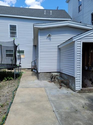
PURCHASE HISTORY 222 High St, Lawrence MA
Cost estimate history
| Year | Tax | Assessment | Market |
|---|---|---|---|
| 2013 | $1,267 | $84,000 | N/A |
Market Activities
222 High St Fire Incident History
To date, we have no information about fire incidents in 2025
19 Apr 2008
Outside rubbish, trash or waste fire
Property Use —
Residential street, road or residential driveway
Area of Origin —
Highway, parking lot, street: on or near
First Ignition —
Rubbish, trash, or waste
High St Fire Incident History
To date, we have no information about fire incidents in 2025
19 Apr 2019
Fire, other
Property Use —
1 or 2 family dwelling
Area of Origin —
Cooking area, kitchen
First Ignition —
Item First Ignited, Other
Heat Source —
Hot or smoldering object, other
06 Jul 2016
Building fires
Property Use —
1 or 2 family dwelling
24 Feb 2016
Building fires
Property Use —
1 or 2 family dwelling
Area of Origin —
Cooking area, kitchen
18 Jun 2015
Building fires
Property Use —
Multifamily dwellings
Area of Origin —
Attic: vacant, crawl space above top story, cupola
First Ignition —
Electrical wire, cable insulation
Heat Source —
Heat source: other
222 High St incidents registered in FEMA
(Federal Emergency Management Agency)
To date, we have no information about incidents registered in FEMA in 2025
24 Dec 2002
Medical assist, assist EMS crew
Property Use —
1 or 2 family dwelling
09 Oct 2002
Smoke scare, odor of smoke
Property Use —
1 or 2 family dwelling
High St Incidents registered in FEMA
(Federal Emergency Management Agency)
To date, we have no information about incidents registered in FEMA in 2025
22 Jul 2015
Power line down
Property Use —
1 or 2 family dwelling
17 Apr 2015
Prescribed fire
Property Use —
Multifamily dwellings
27 Jan 2015
Carbon monoxide incident
Property Use —
1 or 2 family dwelling
24 Nov 2014
Gas leak (natural gas or LPG)
Property Use —
1 or 2 family dwelling
Properties Nearby
| Street Address | Residens/Landlords |
|---|