Market Activities
Union St Fire Incident History
To date, we have no information about fire incidents in 2025
23 Apr 2018
Brush, or brush and grass mixture fire
Property Use —
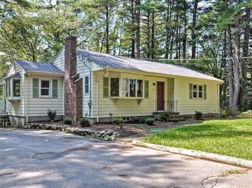
1 or 2 family dwelling
Area of Origin —
Wildland, woods
First Ignition —
Light vegetation - not crop, including grass
Heat Source —
Hot ember or ash
02 Aug 2011
Building fires
Property Use —
1 or 2 family dwelling
Area of Origin —
Wall assembly
First Ignition —
Exterior wall covering or finish
Heat Source —
Heat source: other
20 Apr 2002
Brush, or brush and grass mixture fire
Property Use —
Outside or special property, other
Area of Origin —
Outside area, other
First Ignition —
Light vegetation - not crop, including grass
Heat Source —
Match
194 Un St incidents registered in FEMA
(Federal Emergency Management Agency)
To date, we have no information about incidents registered in FEMA in 2025
04 Aug 2008
Hazardous condition, other
Property Use —
Residential street, road or residential driveway
Un St Incidents registered in FEMA
(Federal Emergency Management Agency)
To date, we have no information about incidents registered in FEMA in 2025
09 Oct 2015
Hazardous condition, other
Property Use —
1 or 2 family dwelling
20 Aug 2015
Hazardous condition, other
Property Use —
Residential street, road or residential driveway
04 Jan 2015
Hazardous condition, other
Property Use —
1 or 2 family dwelling
30 Nov 2014
Vehicle accident, general cleanup
Property Use —
Residential street, road or residential driveway
Properties Nearby
| Street Address | Residens/Landlords | |
|---|---|---|
19 Un St, Norfolk, MA 02056-1705 Single Family
|
James Marra, Stephanie G Marra | |
20 Un St, Norfolk, MA 02056-1704 Single Family
|
Andrew J Foort, Elizabeth A Foort | |
25 Un St, Norfolk, MA 02056-1729 Single Family
|
Pamela Seymour CPA, Donald B Seymour | |
26 Un St, Norfolk, MA 02056-1704 Single Family
|
TELEQUEST COMMUNICATION SERVICES, INC, Anne Killelea Bergen |