


Purchase History
| Date | Event | Price | Source | Agents |
|---|---|---|---|---|
| 02/17/2012 | Sold | $44,900 | Public records | |
| 01/27/2012 | Sold | $46,142 | Public records |
Cost estimate history
| Year | Tax | Assessment | Market |
|---|---|---|---|
| 2013 | N/A | N/A | $111,177 |
Market Activities
To date, we have no information about market activities in 2024
Feb 2022
Sold
Aug 2021
Sold
Jul 2016
Sold
Apr 2016
Sold
Apr 2016
Sold
Apr 2016
Sold
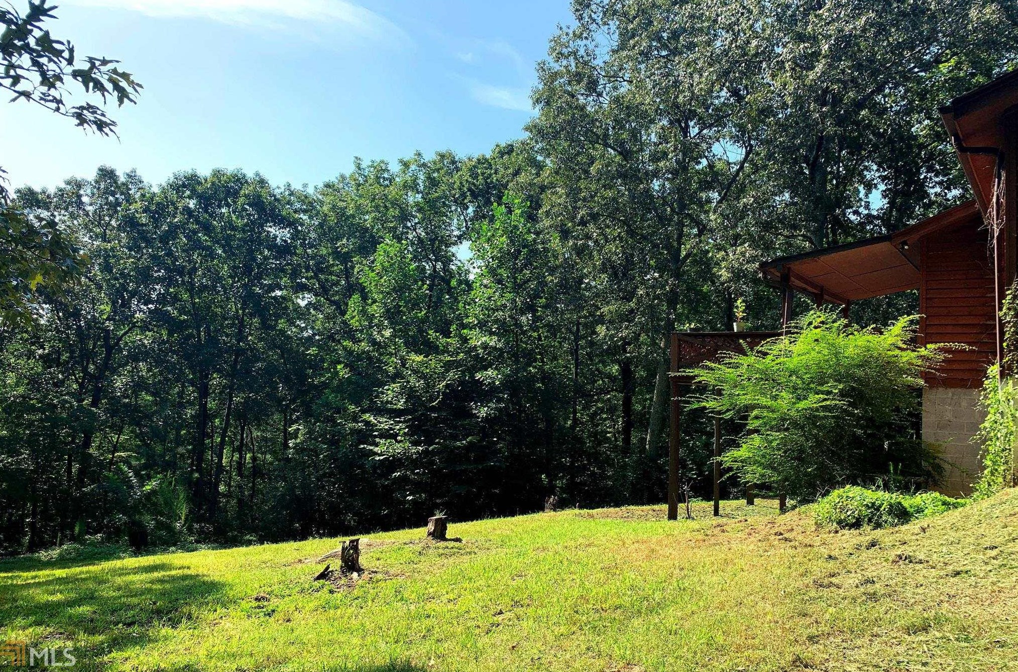
1772 Anderson Hwy Fire Incident History
To date, we have no information about fire incidents in 2024
09 Mar 2014
Brush, or brush and grass mixture fire
Property Use —
Open land or field
Area of Origin —
Open area - outside; included are farmland, field
First Ignition —
Light vegetation - not crop, including grass
Heat Source —
Hot ember or ash
09 Mar 2014
Brush, or brush and grass mixture fire
Property Use —
Open land or field
Area of Origin —
Open area - outside; included are farmland, field
First Ignition —
Light vegetation - not crop, including grass
Heat Source —
Hot ember or ash
Anderson Hwy Fire Incident History
To date, we have no information about fire incidents in 2024
25 May 2016
Grass fire
Property Use —
Open land or field
Area of Origin —
Open area - outside; included are farmland, field
First Ignition —
Light vegetation - not crop, including grass
Heat Source —
Flying brand, ember, spark
07 Mar 2015
Grass fire
Property Use —
Open land or field
Area of Origin —
Open area - outside; included are farmland, field
First Ignition —
Light vegetation - not crop, including grass
Heat Source —
Hot ember or ash
12 Feb 2015
Grass fire
Property Use —
Highway or divided highway
Area of Origin —
Highway, parking lot, street: on or near
First Ignition —
Light vegetation - not crop, including grass
11 Mar 2014
Building fires
Property Use —
1 or 2 family dwelling
Area of Origin —
Ceiling & floor assembly, crawl space b/t stories
Anderson Hwy Incidents registered in FEMA
(Federal Emergency Management Agency)
To date, we have no information about incidents registered in FEMA in 2024
05 Apr 2015
Authorized controlled burning
Property Use —
Open land or field
12 Dec 2009
Building fires
Property Use —
1 or 2 family dwelling
18 Jan 2007
Gas leak (natural gas or LPG)
Property Use —
1 or 2 family dwelling
Properties Nearby
| Street Address | Residens/Landlords | |
|---|---|---|
1664 Anderson Hwy, Elberton, GA 30635-3719 Mobile home
|
Jonathan Crider, Leanne Crider | |
1667 Anderson Hwy, Elberton, GA 30635-3728 Single Family Residential
|
Doug Bond, Elizabeth Burgess | |
1739 Anderson Hwy, Elberton, GA 30635-3729 Single Family Residential
|
Dolly S Willis, John E Willis | |
1755 Anderson Hwy, Elberton, GA 30635-3729 Single Family Residential
|
Jane W Libby, Philip L Libby | |
1756 Anderson Hwy, Elberton, GA 30635-3792 Single Family Residential
|
Johnny R Crookham, Sharon Crookham | |
1781 Anderson Hwy, Elberton, GA 30635-3776 Single Family Residential
|
Alicia S Cassady, Sean Cassady | |
1790 Anderson Hwy, Elberton, GA 30635-3792 Single Family Residential
|
Patricia B Haggard, Sammuel M Haggard | |
1792 Anderson Hwy, Elberton, GA 30635-3792 Mobile home
|
Kevin M Haggard, Susan C Haggard | |
1797 Anderson Hwy, Elberton, GA 30635-3776 Lot/Land
|
Betty Bruce, Curtis D Bruce | |
1800 Anderson Hwy, Elberton, GA 30635-3721 Single Family Residential
|
Jack Grant, Maryjo Grant |
Schools near property
| Name | Type | Grade | Distance |
|---|---|---|---|
| Elementary school | |||
| Beaverdam Elementary School 1088 Ruckersville Rd, Elberton, GA 30635 706-213-4301 | Public | PK-5 | 2.4 |
| Blackwell Elementary School 373 Campbell St, Elberton, GA 30635 706-213-4401 | Public | PK-5 | 3.6 |
| Middle school | |||
| Elbert County Middle School 1108 Athens Tech Rd, Elberton, GA 30635 706-213-4200 | Public | 6-8 | 4.54 |
| High school | |||
| Elbert County High School 600 Abernathy Cir, Elberton, GA 30635 706-213-4101 | Public | 9-12 | 4.21 |