Market Activities
North St Fire Incident History
To date, we have no information about fire incidents in 2025
19 Feb 2012
Building fires
Property Use —
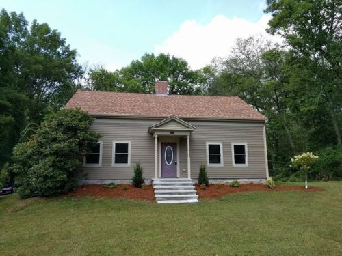
1 or 2 family dwelling
Area of Origin —
Heating room or area, water heater area
First Ignition —
Electrical wire, cable insulation
Heat Source —
Spark, ember or flame from operating equipment
24 Aug 2009
Brush, or brush and grass mixture fire
Property Use —
Mental retardation/development disability facility
Area of Origin —
Wildland, woods
First Ignition —
Light vegetation - not crop, including grass
Heat Source —
Spark, ember or flame from operating equipment
19 Sep 2008
Building fires
Property Use —
1 or 2 family dwelling
Area of Origin —
Common room, den, family room, living room, lounge
First Ignition —
Multiple items first ignited
Heat Source —
Heat source: other
29 Apr 2006
Brush, or brush and grass mixture fire
Property Use —
1 or 2 family dwelling
Area of Origin —
Wildland, woods
First Ignition —
Heavy vegetation - not crop, including trees
98 St incidents registered in FEMA
(Federal Emergency Management Agency)
To date, we have no information about incidents registered in FEMA in 2025
20 Jun 2015
Dumpster or other outside trash receptacle fire
Property Use —
1 or 2 family dwelling
15 Oct 2014
Vehicle accident, general cleanup
Property Use —
1 or 2 family dwelling
13 Jan 2011
Hazardous condition, other
Property Use —
1 or 2 family dwelling
St Incidents registered in FEMA
(Federal Emergency Management Agency)
To date, we have no information about incidents registered in FEMA in 2025
03 Nov 2015
Unauthorized burning
Property Use —
1 or 2 family dwelling
17 Oct 2015
Hazardous condition, other
Property Use —
1 or 2 family dwelling
15 Jul 2015
Cooking fire, confined to container
Property Use —
Mental retardation/development disability facility
20 Jun 2015
Dumpster or other outside trash receptacle fire
Property Use —
1 or 2 family dwelling
Properties Nearby
| Street Address | Residens/Landlords | |
|---|---|---|
26 St, Norfolk, MA 02056-1647 Single Family
|
Margaret C Baker, Michael H Baker | |
57 St, Norfolk, MA 02056-1646 Single Family
|
Brenda L Bowden, Donna L Bowden |