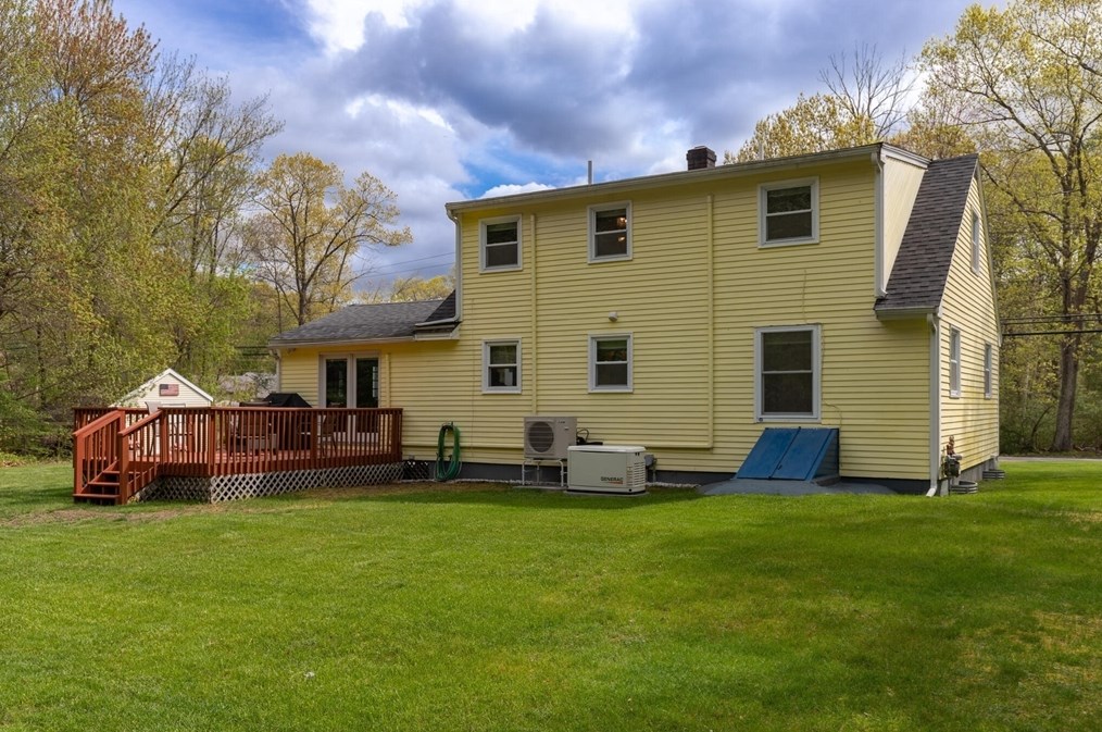
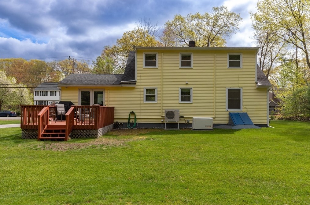
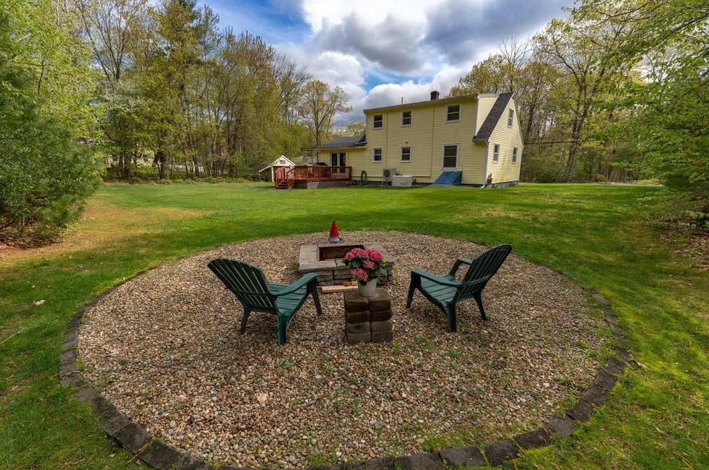
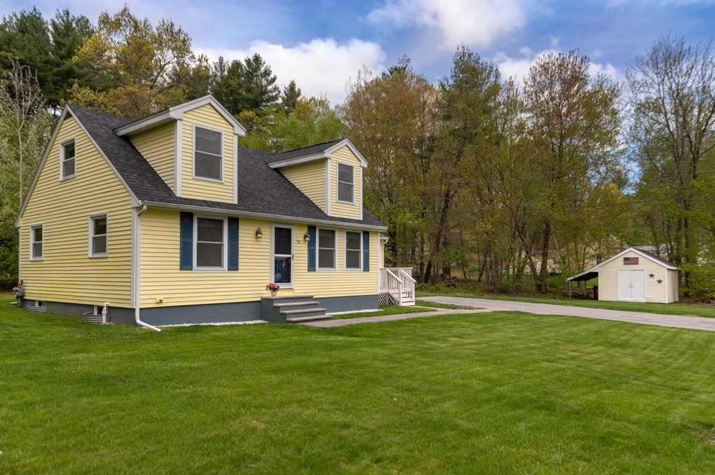
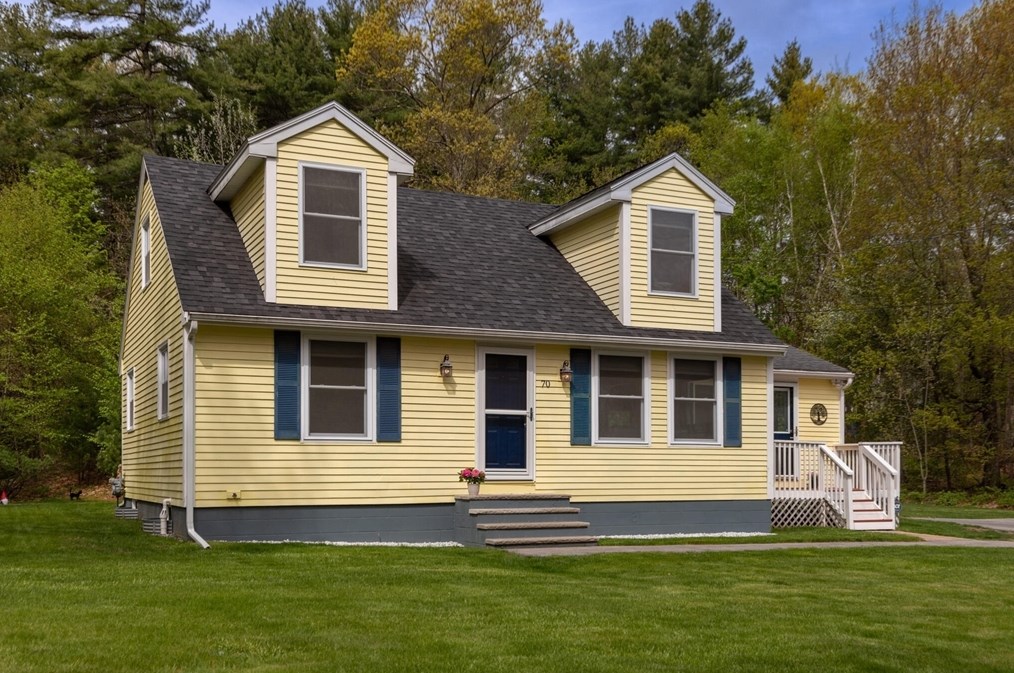
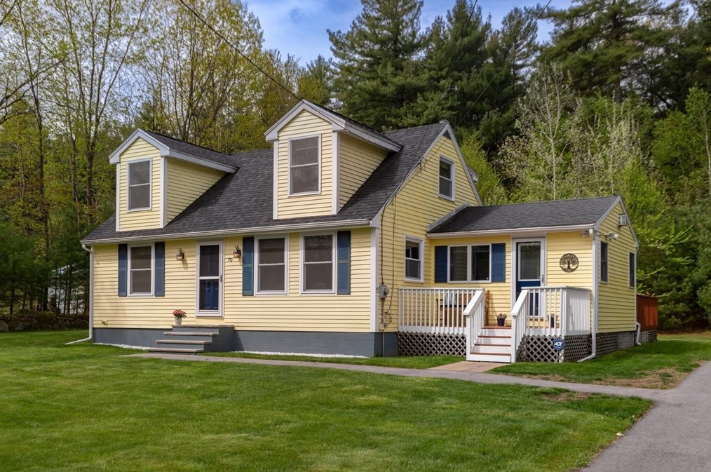
70 Parham Rd, Tyngsborough MA  01879-1234 exterior 70 Parham Rd, Tyngsborough MA  01879-1234 exterior 70 Parham Rd, Tyngsborough MA  01879-1234 exterior

70 Parham Rd Tyngsborough, MA 01879 / 1234

Residence for Single Family

(UPDATED: 05/15/2024)
  • 2 Beds
  • 1 Baths
  • 1.456 square feet
For Sale
$589,999
Property Report

Information about property on 70 Parham Rd, Tyngsborough MA, 01879-1234. Find out owner contacts, building history, price, neighborhood at Homemetry Address Directory.

Property Details

A single-family Cape Cod style property at 70 Parham Rd, Tyngsborough, Massachusetts.

Facts

  • Built in 1964
  • Lot size 0,91 acres
  • Floor size 1,456 sqft
  • Rooms 5
  • Stories 2
  • Structure type Cape cod
  • Heating & Cooling
  • Heat type Other
  • Exterior Home Features
  • Exterior material Wood
  • Roof type Asphalt

Misc

  • Units 1

Listing info

  • Last sold Jul 1998 for $120,000

Householders and Tenants for 70 Parham Rd, Tyngsborough MA

Possible residents contact details

Person Name Phone Number Additional Info
Charlene A Nardone Age: 55
Diane L Judson Age: 61
508-649-****
Residential status:
Homeowner
Job:
Craftsman/Blue Collar
Donna L Leahy Age: 93
Donna L Ramalho
Jeffrey R Judson Age: 68
978-649-****
Residential status:
Homeowner
Jill M Nardone Age: 59
John P Leahy Age: 64
978-649-****
Richard K Cohen Age: 63
978-851-****
Residential status:
Homeowner
Sally Leahy Age: 88
978-649-****

Possible Businesses

Organization Phone Number Additional Info
LEAHY SIDING & CONSTRUCTION CO., INC
Type of Business:
Domestic Profit Corporation
Inactive:
19910104

Where is 70 Parham Rd, Tyngsborough MA located on map?

Market Activities

To date, we have no information about market activities in 2025
May 2024 Listed for sale
70 Parham Rd
Price history :
  • Single Family
  • 1,680 sqft
  • 4 beds
  • 2 baths

View more

Parham Rd Fire Incident History

To date, we have no information about fire incidents in 2025
06 Jul 2010 Brush, or brush and grass mixture fire
Property Use —
Residential street, road or residential driveway
Area of Origin —
Highway, parking lot, street: on or near
First Ignition —
Light vegetation - not crop, including grass

Parham Rd Incidents registered in FEMA
(Federal Emergency Management Agency)

To date, we have no information about incidents registered in FEMA in 2025
27 Jun 2015 Gasoline or other flammable liquid spill
Property Use —
Residential street, road or residential driveway
30 Aug 2013 Vehicle accident, general cleanup
Property Use —
Street, other
03 Dec 2012 Unauthorized burning
Property Use —
1 or 2 family dwelling
17 Apr 2012 Vehicle accident, general cleanup
Property Use —
Residential street, road or residential driveway

View more

Properties Nearby

Street AddressResidens/Landlords
 

FAQ about the house at 70 Parham Rd, Tyngsborough, MA


NOTICE: You may not use RadioAwards or the information it provides to make decisions about employment, credit, housing or any other purpose that would require Fair Credit Reporting Act (FCRA) compliance. RadioAwards is not a Consumer Reporting Agency (CRA) as defined by the FCRA and does not provide consumer reports.