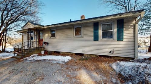
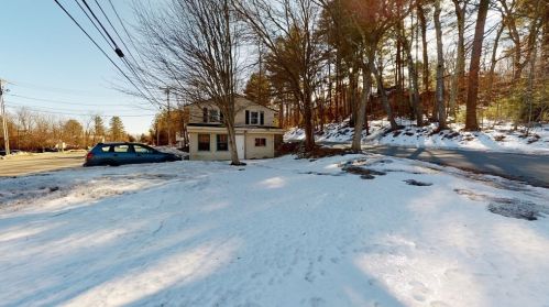
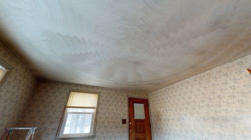
Market Activities
To date, we have no information about market activities in 2025
Jul 2022
Sold
Jun 2021
Sold
Mar 2021
Sold
Providence Rd Fire Incident History
To date, we have no information about fire incidents in 2025
28 Feb 2011
Mobile property (vehicle) fire, other
Property Use —
Manufacturing, processing
Area of Origin —
Vehicle area, other
23 Jun 2010
Fire, other
Property Use —
Manufacturing, processing
Area of Origin —
Storage area, other
First Ignition —
Organic materials, other
Heat Source —
Heat from powered equipment, other
07 Apr 2004
Building fires
Property Use —
Manufacturing, processing
Area of Origin —
Machinery room or area; elevator machinery room
First Ignition —
Insulation within structural area
Heat Source —
Spark, ember or flame from operating equipment
07 Jan 2004
Building fires
Property Use —
Manufacturing, processing
Area of Origin —
Shipping/receiving area; loading area, dock or bay
First Ignition —
Pallet, skid (empty)
Heat Source —
Spark, ember or flame from operating equipment
Providence Rd Incidents registered in FEMA
(Federal Emergency Management Agency)
To date, we have no information about incidents registered in FEMA in 2025
29 Oct 2012
Arcing, shorted electrical equipment
Property Use —
Street, other
18 Sep 2012
Electrical wiring/equipment problem, other
Property Use —
Street, other
29 Jul 2011
Unauthorized burning
Property Use —
Graded and cared-for plots of land
25 Dec 2003
Wrong location
Properties Nearby
| Street Address | Residens/Landlords | |
|---|---|---|
2 Providence Rd, Sutton, MA 01590-3817 Single Family
|
Andrew M Maynard, Karen M Maynard | |
6 Providence Rd, Sutton, MA 01590-3817 Single Family
|
Elaine Auger | |
9 Providence Rd, Sutton, MA 01590-3818 Single Family
|
Susan Roy, Vincent C Roy | |
10 Providence Rd, Sutton, MA 01590-3815 Single Family
|
ATM |