


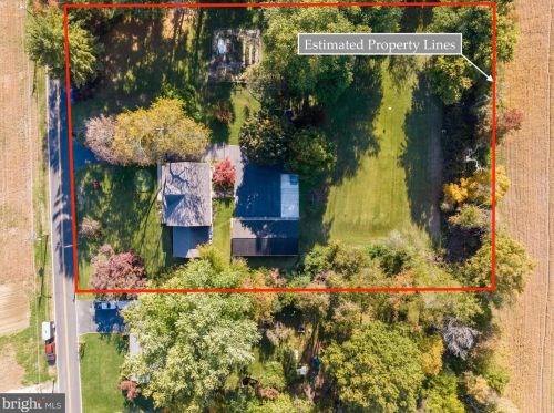
Cost estimate history
| Year | Tax | Assessment | Market |
|---|---|---|---|
| 2014 | N/A | $324,600 | N/A |
| 2013 | $9,501 | N/A | N/A |
Market Activities
White Pine Rd Fire Incident History
To date, we have no information about fire incidents in 2025
10 Jan 2015
Building fires
Property Use —
1 or 2 family dwelling
Area of Origin —
Vehicle storage area; garage, carport
First Ignition —
Box, carton, bag, basket, barrel
Heat Source —
Cigarette
06 Apr 2014
Natural vegetation fire, other
Property Use —
Open land or field
Area of Origin —
Outside area, other
First Ignition —
Light vegetation - not crop, including grass
Heat Source —
Heat spread from another fire, other
31 Mar 2013
Building fires
Property Use —
1 or 2 family dwelling
Area of Origin —
Cooking area, kitchen
First Ignition —
Appliance housing or casing
Heat Source —
Heat source: other
30 Dec 2001
Brush, or brush and grass mixture fire
Property Use —
1 or 2 family dwelling
Area of Origin —
Courtyard, patio, porch, terrace
First Ignition —
Heavy vegetation - not crop, including trees
Heat Source —
Spark, ember or flame from operating equipment
321 White Pne Rd incidents registered in FEMA
(Federal Emergency Management Agency)
To date, we have no information about incidents registered in FEMA in 2025
21 May 2015
Power line down
21 May 2015
Power line down
Property Use —
Residential street, road or residential driveway
White Pne Rd Incidents registered in FEMA
(Federal Emergency Management Agency)
To date, we have no information about incidents registered in FEMA in 2025
21 May 2015
Power line down
21 May 2015
Power line down
Property Use —
Residential street, road or residential driveway
10 Jan 2015
Building fires
10 Jan 2015
Building fires
Properties Nearby
| Street Address | Residens/Landlords |
|---|