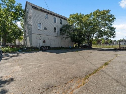
Market Activities
To date, we have no information about market activities in 2025
May 2023
Sold
Nov 2022
Listed for sale
Nov 2022
Listed for sale
Feb 2022
Sold
Jun 2021
Listed for sale
Mar 2021
Sold
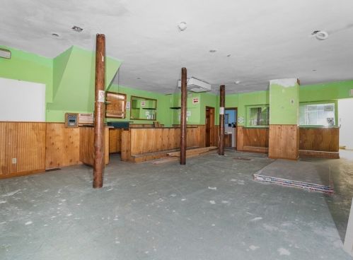
Wing St Fire Incident History
To date, we have no information about fire incidents in 2025
18 Sep 2016
Fire, other
Property Use —
Industrial plant yard - area
Area of Origin —
Cooking area, kitchen
First Ignition —
Organic materials, other
Heat Source —
Radiated, conducted heat from operating equipment
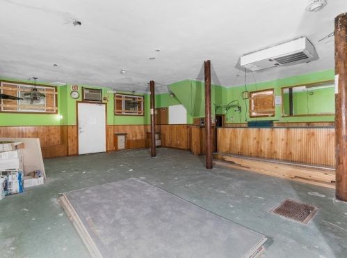
26 Jul 2012
Building fires
Property Use —
Funeral parlor
Area of Origin —
Interior stairway or ramp
First Ignition —
Wearing apparel not on a person
Heat Source —
Heat source: other
24 Jul 2012
Building fires
Property Use —
Multifamily dwellings
Area of Origin —
Closet
First Ignition —
Wearing apparel not on a person
Heat Source —
Cigarette
06 Aug 2011
Trash or rubbish fire, contained
Property Use —
1 or 2 family dwelling
Area of Origin —
Interior stairway or ramp
First Ignition —
Magazine, newspaper, writing paper
Heat Source —
Flame/torch used for lighting
26 Wing St incidents registered in FEMA
(Federal Emergency Management Agency)
To date, we have no information about incidents registered in FEMA in 2025
16 Apr 2003
Gas leak (natural gas or LPG)
Property Use —
Multifamily dwellings
Wing St Incidents registered in FEMA
(Federal Emergency Management Agency)
To date, we have no information about incidents registered in FEMA in 2025
23 Dec 2013
Gas leak (natural gas or LPG)
Property Use —
Residential street, road or residential driveway
17 Oct 2007
Outside rubbish, trash or waste fire
Property Use —
Outside or special property, other
16 Apr 2003
Gas leak (natural gas or LPG)
Property Use —
Multifamily dwellings
15 Apr 2003
Water or steam leak
Property Use —
Multifamily dwellings
Properties Nearby
| Street Address | Residens/Landlords |
|---|