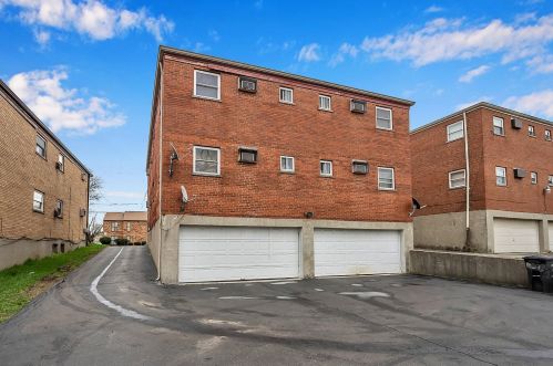
Cost estimate history
| Year | Tax | Assessment | Market |
|---|---|---|---|
| 2013 | $6,014 | $51,692 | N/A |
| 2011 | N/A | N/A | $147,690 |
Market Activities
Cottonwood Dr Fire Incident History
To date, we have no information about fire incidents in 2025
20 Nov 2016
Building fires
Property Use —
Swimming facility: indoor or outdoor
Area of Origin —
Function area, other
Heat Source —
Hot or smoldering object, other
27 Sep 2011
Outside equipment fire
Property Use —
Graded and cared-for plots of land
Area of Origin —
Engine area, running gear, wheel area
First Ignition —
Item First Ignited, Other
Heat Source —
Heat from powered equipment, other
24 Oct 2004
Building fires
Property Use —
Multifamily dwellings
Area of Origin —
Other
First Ignition —
Item First Ignited, Other
Heat Source —
Heat source: other
05 Jul 2004
Dumpster or other outside trash receptacle fire
Property Use —
Elementary school, including kindergarten
Area of Origin —
Shipping/receiving area; loading area, dock or bay
First Ignition —
Rubbish, trash, or waste
8373 Cottonwood Dr incidents registered in FEMA
(Federal Emergency Management Agency)
To date, we have no information about incidents registered in FEMA in 2025
27 Nov 2007
Carbon monoxide incident
Property Use —
Multifamily dwellings
Cottonwood Dr Incidents registered in FEMA
(Federal Emergency Management Agency)
To date, we have no information about incidents registered in FEMA in 2025
29 Oct 2014
Power line down
Property Use —
Residential street, road or residential driveway
15 Apr 2014
Power line down
Property Use —
1 or 2 family dwelling
20 Jul 2013
Authorized controlled burning
Property Use —
1 or 2 family dwelling
12 Jan 2013
Building fires
Properties Nearby
| Street Address | Residens/Landlords |
|---|