Cost estimate history
| Year | Tax | Assessment | Market |
|---|---|---|---|
| 2012 | $4,116 | $51,600 | N/A |
Market Activities
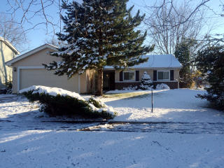
Rockhurst Rd Fire Incident History
To date, we have no information about fire incidents in 2025
22 Dec 2017
Fire, other
Property Use —
1 or 2 family dwelling
Area of Origin —
Cooking area, kitchen
First Ignition —
Item First Ignited, Other
Heat Source —
Candle
04 Jan 2016
Passenger vehicle fire
Property Use —
1 or 2 family dwelling
Area of Origin —
Engine area, running gear, wheel area
First Ignition —
Flammable liquid/gas - in/from engine or burner
Heat Source —
Heat source: other
21 Aug 2014
Building fires
Property Use —
1 or 2 family dwelling
Area of Origin —
Wall surface: exterior
First Ignition —
Exterior wall covering or finish
Heat Source —
Arcing
12 Oct 2012
Natural vegetation fire, other
Property Use —
Outside or special property, other
Area of Origin —
Outside area, other
First Ignition —
Light vegetation - not crop, including grass
687 Rockhurst Rd incidents registered in FEMA
(Federal Emergency Management Agency)
To date, we have no information about incidents registered in FEMA in 2025
18 Dec 2012
Carbon monoxide incident
Property Use —
1 or 2 family dwelling
Rockhurst Rd Incidents registered in FEMA
(Federal Emergency Management Agency)
To date, we have no information about incidents registered in FEMA in 2025
21 Aug 2014
Building fires
20 May 2014
Power line down
Property Use —
1 or 2 family dwelling
13 Mar 2014
Carbon monoxide incident
Property Use —
1 or 2 family dwelling
09 Feb 2014
Carbon monoxide incident
Property Use —
1 or 2 family dwelling
Properties Nearby
| Street Address | Residens/Landlords |
|---|