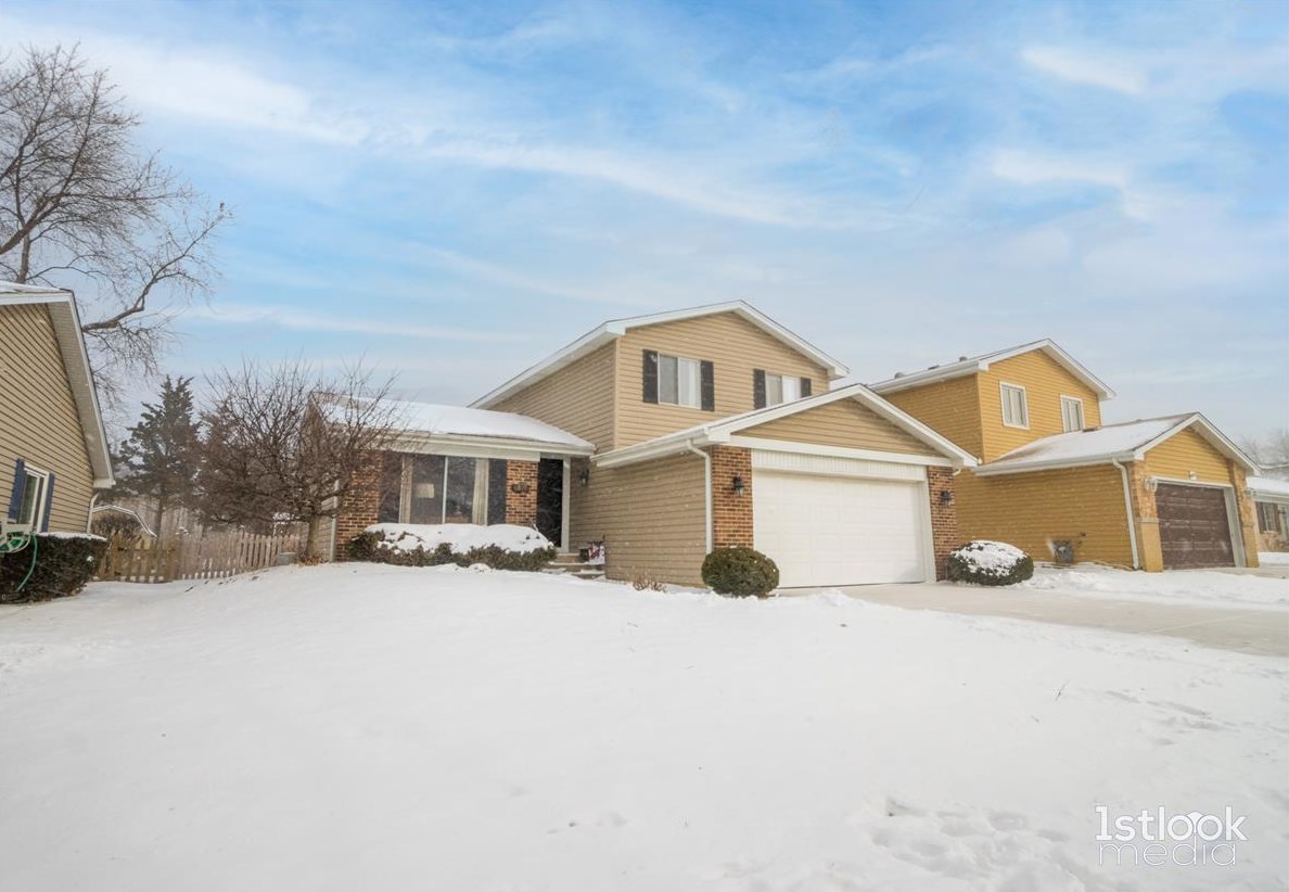


Cost estimate history
| Year | Tax | Assessment | Market |
|---|---|---|---|
| 2012 | $4,859 | $59,380 | N/A |
Market Activities
Red Wing Dr Fire Incident History
To date, we have no information about fire incidents in 2025
20 Nov 2013
Fire, other
Property Use —
1 or 2 family dwelling
Area of Origin —
Wall surface: exterior
First Ignition —
Light vegetation - not crop, including grass
Heat Source —
Hot or smoldering object, other
6809 Red Wing Dr incidents registered in FEMA
(Federal Emergency Management Agency)
To date, we have no information about incidents registered in FEMA in 2025
05 Jan 2011
Carbon monoxide incident
Property Use —
1 or 2 family dwelling
Red Wing Dr Incidents registered in FEMA
(Federal Emergency Management Agency)
To date, we have no information about incidents registered in FEMA in 2025
05 Jan 2011
Carbon monoxide incident
Property Use —
1 or 2 family dwelling
23 May 2003
Hazardous condition, other
Property Use —
1 or 2 family dwelling
Properties Nearby
| Street Address | Residens/Landlords |
|---|


