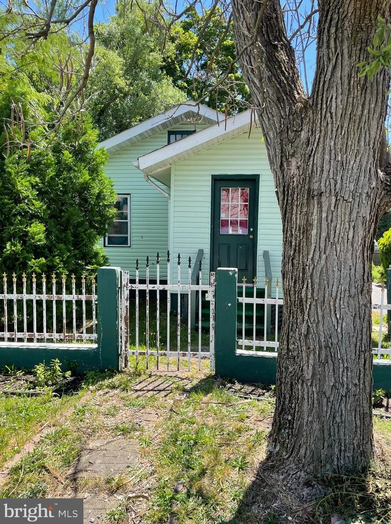
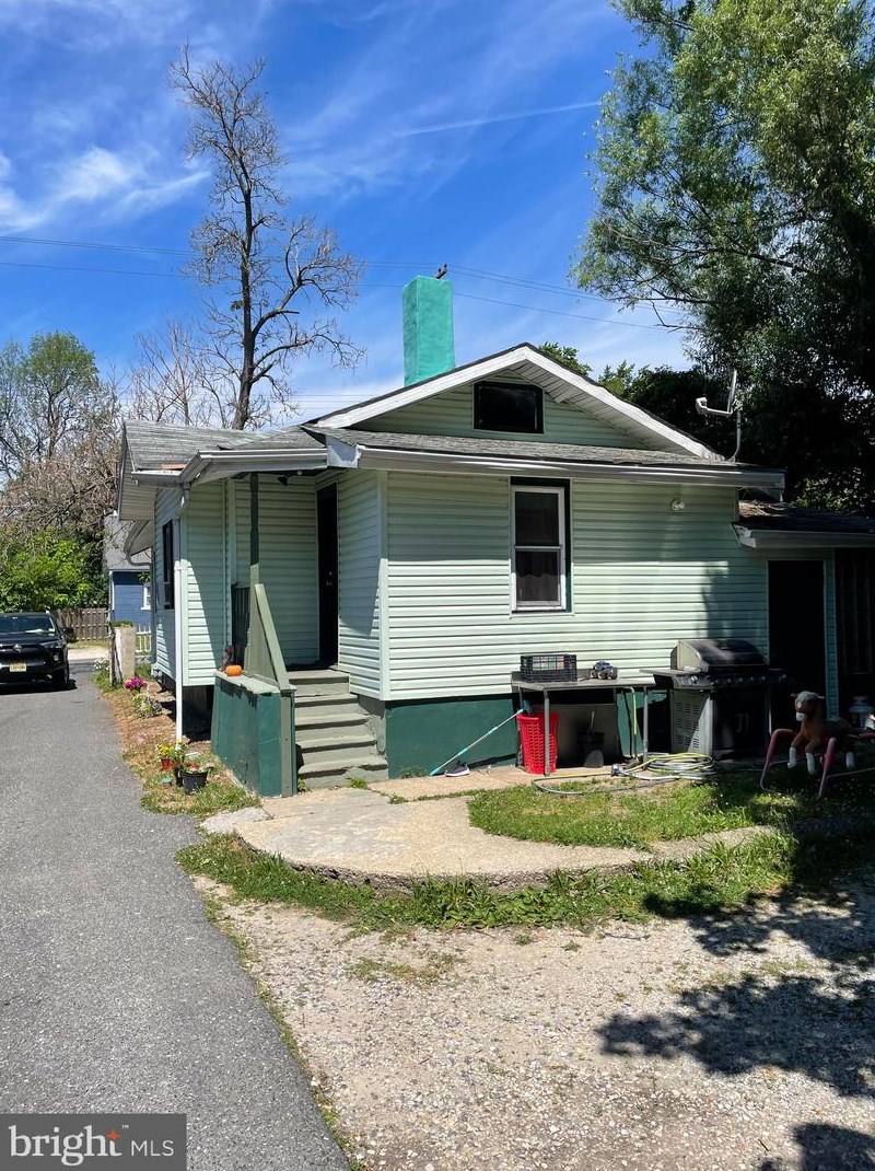
Purchase History
| Date | Event | Price | Source | Agents |
|---|---|---|---|---|
| 02/19/2003 | Sold | $38,525 | Public records |
Cost estimate history
| Year | Tax | Assessment | Market |
|---|---|---|---|
| 2014 | N/A | $110,000 | N/A |
| 2013 | $2,449 | N/A | N/A |
Market Activities
511 2nd St Fire Incident History
To date, we have no information about fire incidents in 2025
21 Jul 2011
Building fires
Property Use —
1 or 2 family dwelling
2 St Fire Incident History
To date, we have no information about fire incidents in 2025
05 May 2018
Building fires
Property Use —
1 or 2 family dwelling
28 Nov 2015
Brush, or brush and grass mixture fire
Property Use —
Graded and cared-for plots of land
Area of Origin —
Wildland, woods
13 Sep 2015
Brush, or brush and grass mixture fire
Property Use —
Graded and cared-for plots of land
Area of Origin —
Vacant structural area
First Ignition —
Light vegetation - not crop, including grass
Heat Source —
Hot ember or ash
01 Feb 2012
Building fires
Property Use —
1 or 2 family dwelling
Area of Origin —
Bathroom, checkroom, lavatory, locker room
First Ignition —
Rolled, wound material (paper, fabric)
Heat Source —
Heat source: other
511 2 St incidents registered in FEMA
(Federal Emergency Management Agency)
To date, we have no information about incidents registered in FEMA in 2025
11 Jul 2003
Steam, vapor, fog or dust thought to be smoke
Property Use —
Residential street, road or residential driveway
2 St Incidents registered in FEMA
(Federal Emergency Management Agency)
To date, we have no information about incidents registered in FEMA in 2025
29 Oct 2015
Unauthorized burning
Property Use —
Graded and cared-for plots of land
19 Aug 2014
Vehicle accident, general cleanup
Property Use —
Residential street, road or residential driveway
19 May 2014
Gas leak (natural gas or LPG)
Property Use —
1 or 2 family dwelling
16 Dec 2012
Unauthorized burning
Property Use —
Graded and cared-for plots of land
Properties Nearby
| Street Address | Residens/Landlords |
|---|