Purchase History
| Date | Event | Price | Source | Agents |
|---|---|---|---|---|
| 12/30/2013 | Sold | $65,000 | Public records |
Cost estimate history
| Year | Tax | Assessment | Market |
|---|---|---|---|
| 2013 | $1,948 | $28,280 | N/A |
| 2011 | N/A | N/A | $80,800 |
Market Activities
To date, we have no information about market activities in 2025
Jun 2024
Listed for sale
Jun 2024
Sold
Apr 2024
Sold
Nov 2023
Sold
Oct 2023
Listed for sale
Jun 2023
Listed for sale
Jan 2023
Listed for sale
Dec 2022
Sold
Nov 2022
Sold
Nov 2022
Sold
Oct 2022
Sold
Feb 2022
Sold
Feb 2022
Sold
Aug 2021
Listed for sale
Aug 2021
Sold
Oct 2018
Sold
Sep 2018
Sold
Jun 2018
Sold
Apr 2016
Sold
Oct 2015
Sold
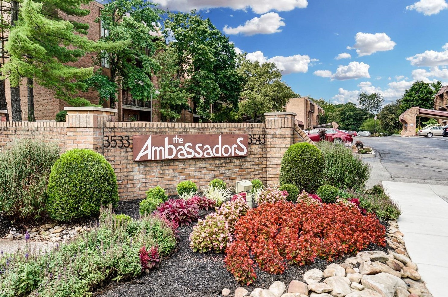
3543 Amberacres Dr Fire Incident History
To date, we have no information about fire incidents in 2025
04 Oct 2000
Structure fire, other (conversion only)
Property Use —
Multifamily dwellings
Area of Origin —
Cooking area, kitchen
First Ignition —
Cooking materials, including edible materials
Heat Source —
Radiated, conducted heat from operating equipment
Amberacres Dr Fire Incident History
To date, we have no information about fire incidents in 2025
16 Feb 2017
Passenger vehicle fire
04 Oct 2000
Structure fire, other (conversion only)
Property Use —
Multifamily dwellings
Area of Origin —
Cooking area, kitchen
First Ignition —
Cooking materials, including edible materials
Heat Source —
Radiated, conducted heat from operating equipment
3543 Amberacres Dr incidents registered in FEMA
(Federal Emergency Management Agency)
To date, we have no information about incidents registered in FEMA in 2025
10 Apr 2004
Outside rubbish fire, other
Property Use —
Open land or field
Amberacres Dr Incidents registered in FEMA
(Federal Emergency Management Agency)
To date, we have no information about incidents registered in FEMA in 2025
20 May 2015
Oil or other combustible liquid spill
Property Use —
Vehicle parking area
30 Aug 2009
Explosive, bomb removal (for bomb scare, use 721)
Property Use —
1 or 2 family dwelling
06 Nov 2008
Gasoline or other flammable liquid spill
Property Use —
Vehicle parking area
10 Apr 2004
Outside rubbish fire, other
Property Use —
Open land or field
Properties Nearby
| Street Address | Residens/Landlords | |
|---|---|---|