


Cost estimate history
| Year | Tax | Assessment | Market |
|---|---|---|---|
| 2014 | $5,213 | N/A | N/A |
| 2012 | N/A | $29,664 | N/A |
| 2003 | N/A | N/A | $92,700 |
Market Activities
To date, we have no information about market activities in 2025
Feb 2022
Sold
Aug 2021
Sold
May 2021
Sold
Jul 2016
Recent Rent
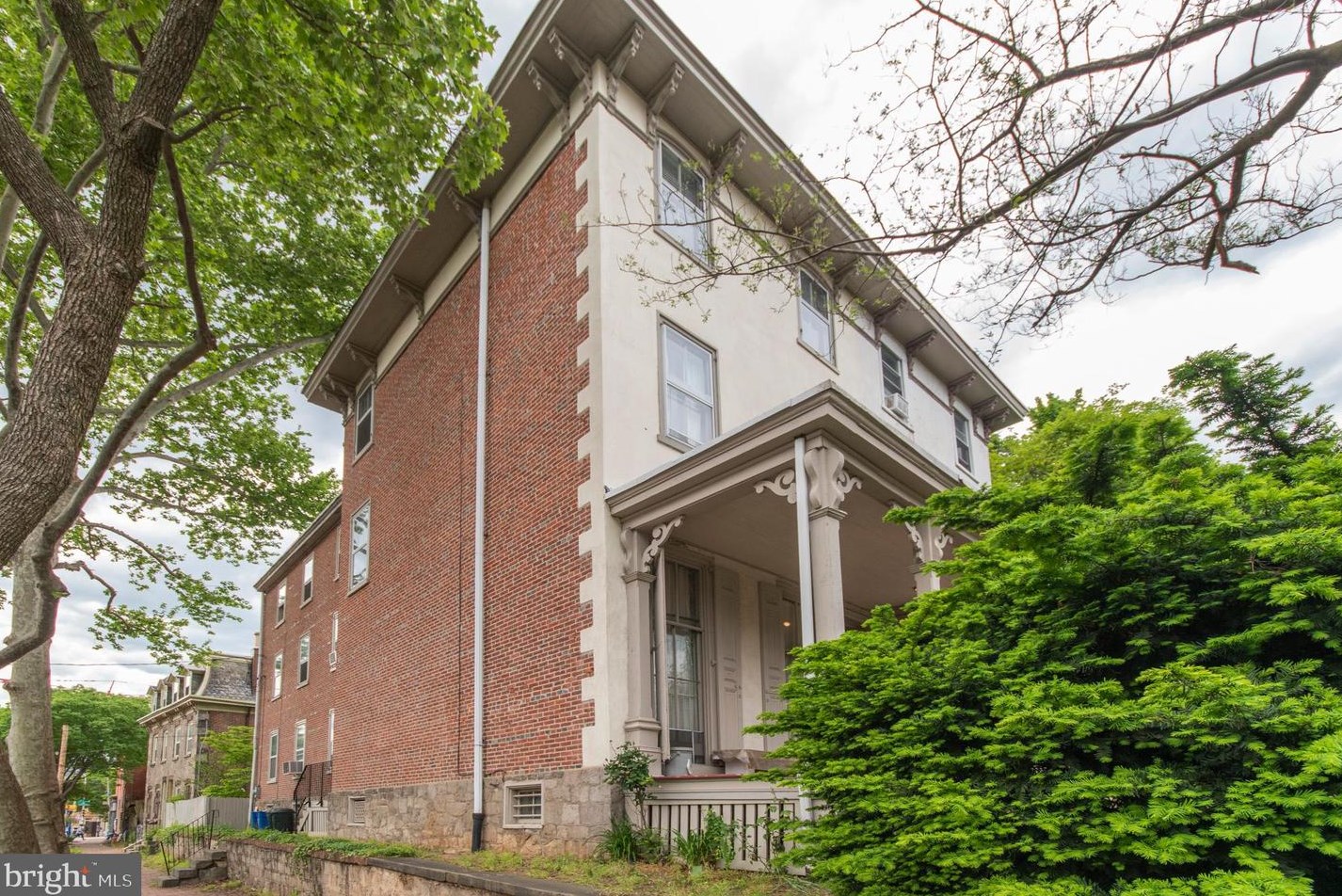
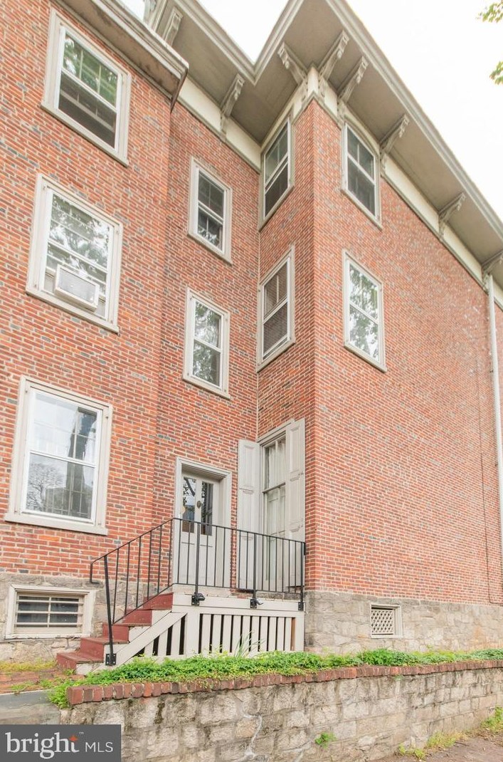
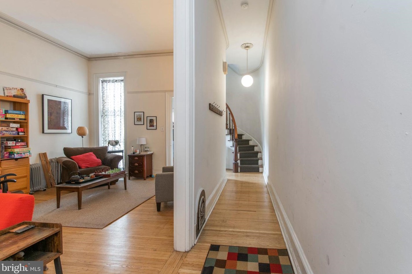
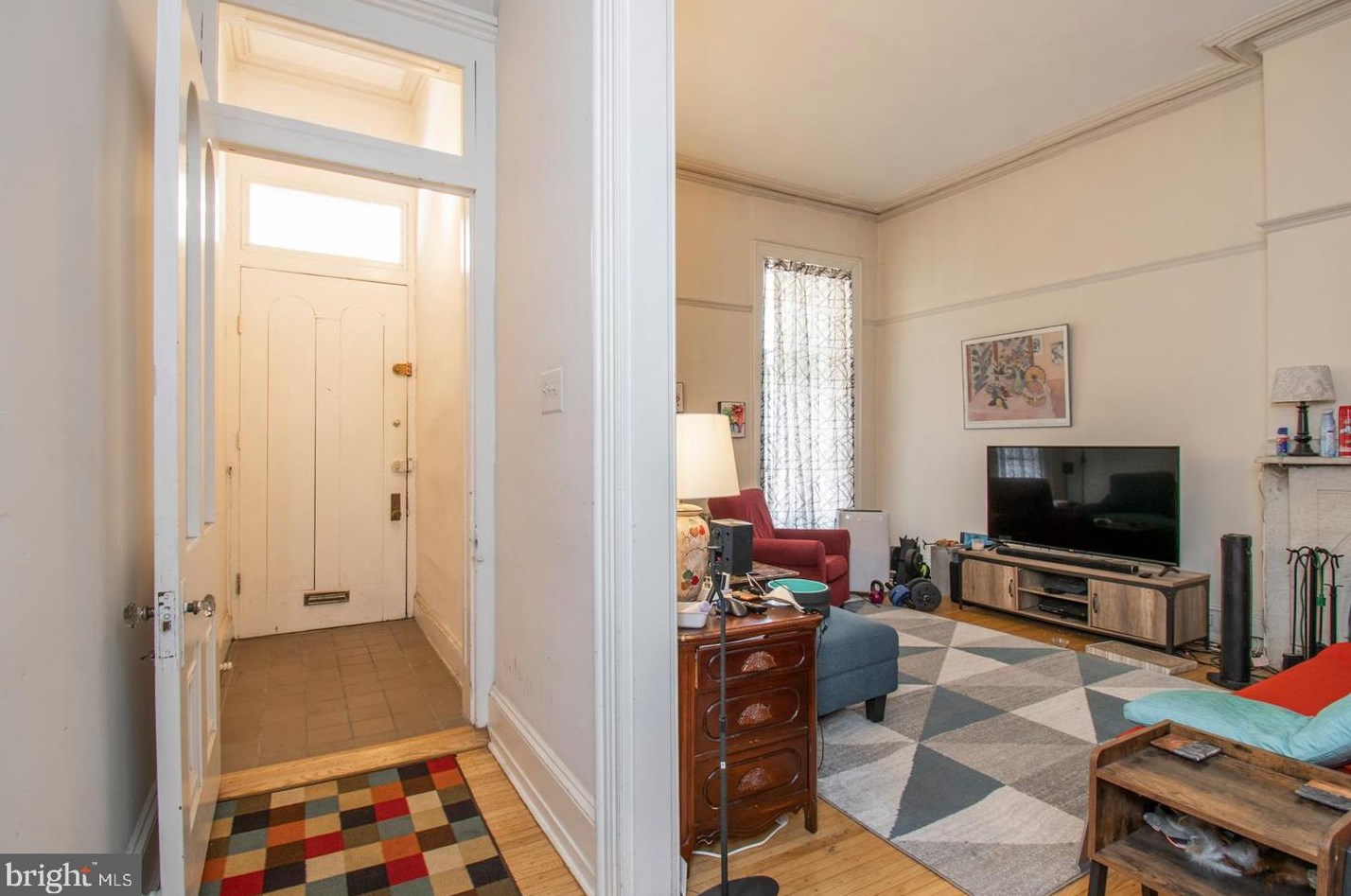
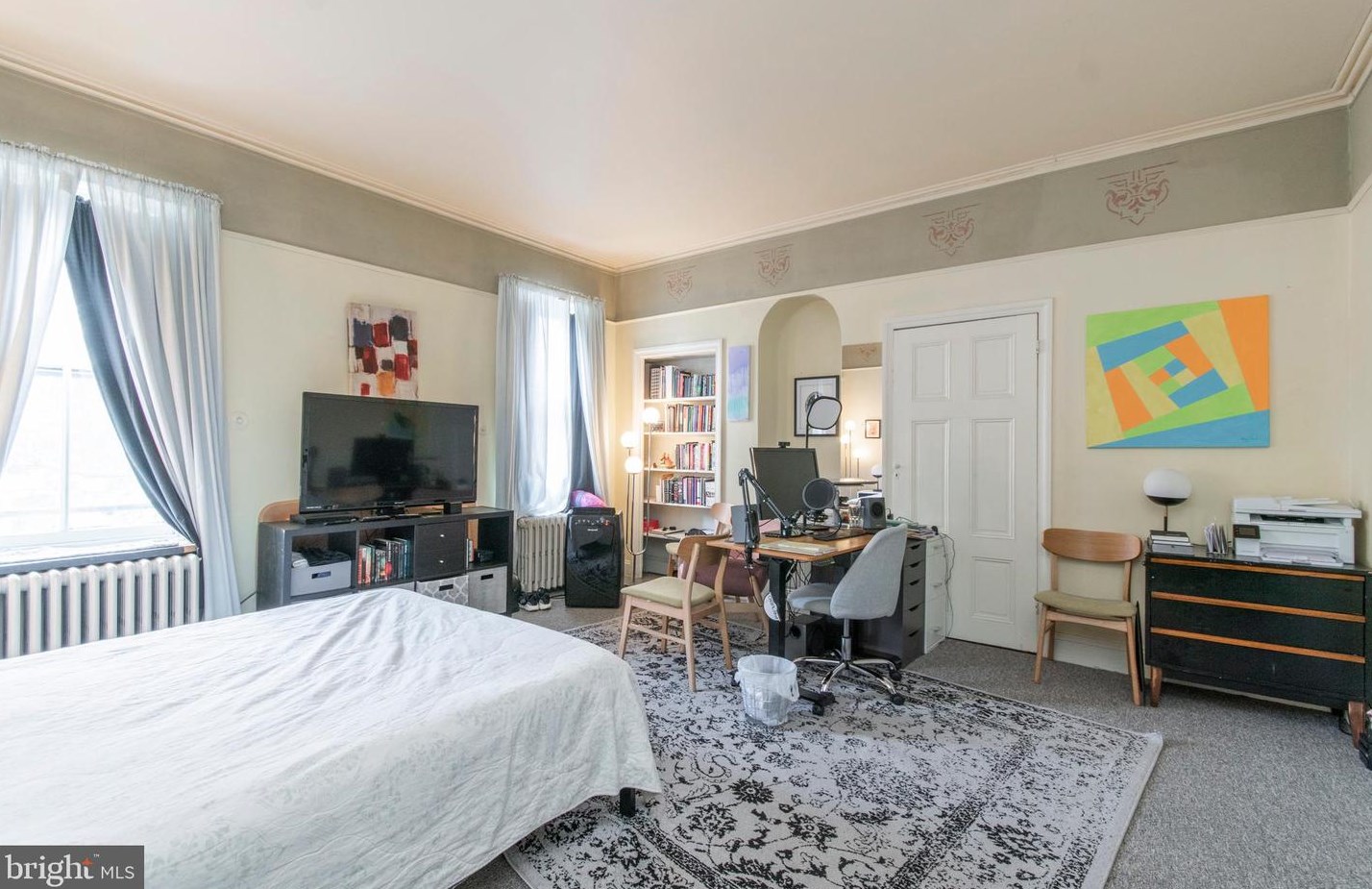
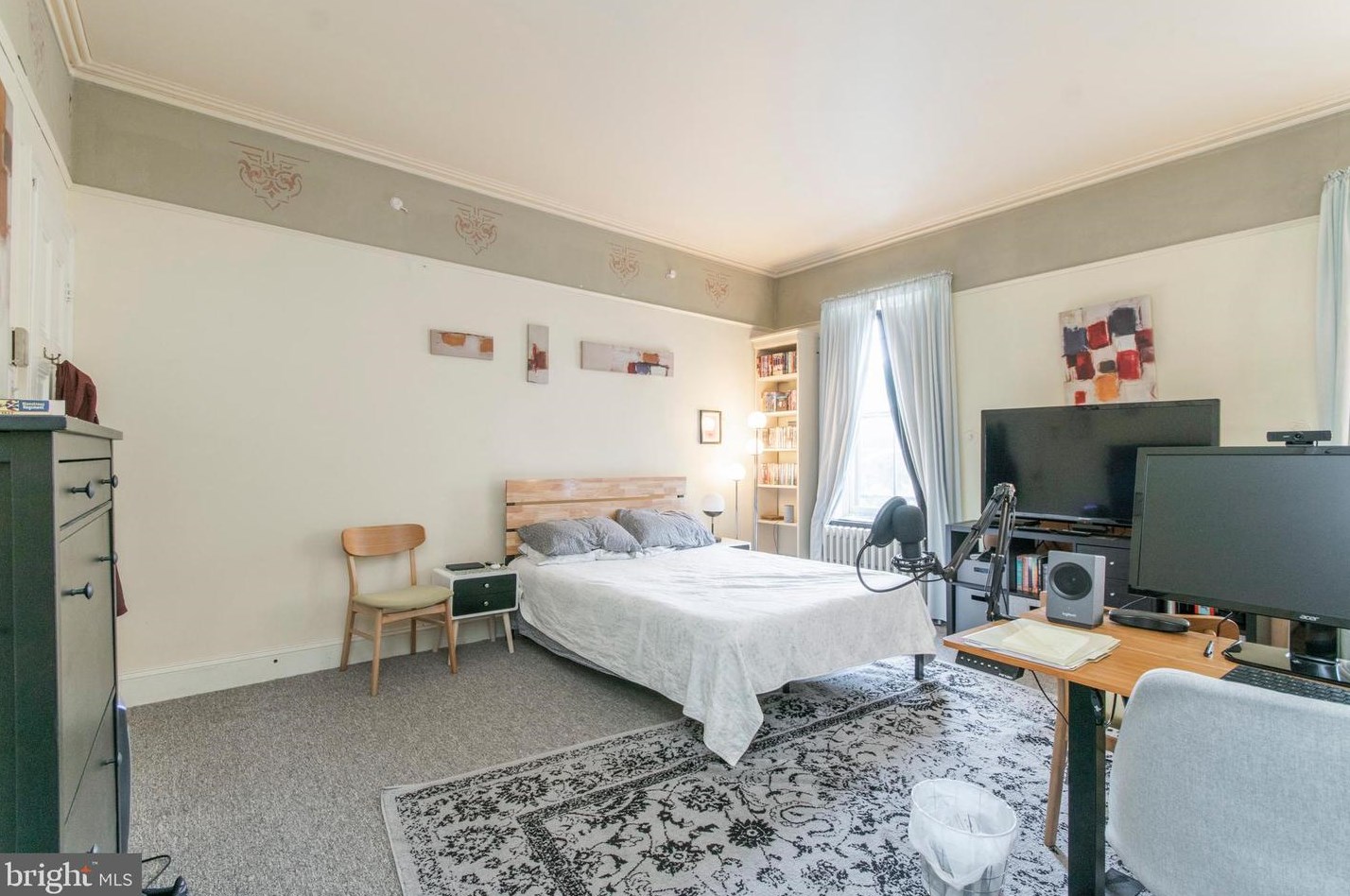
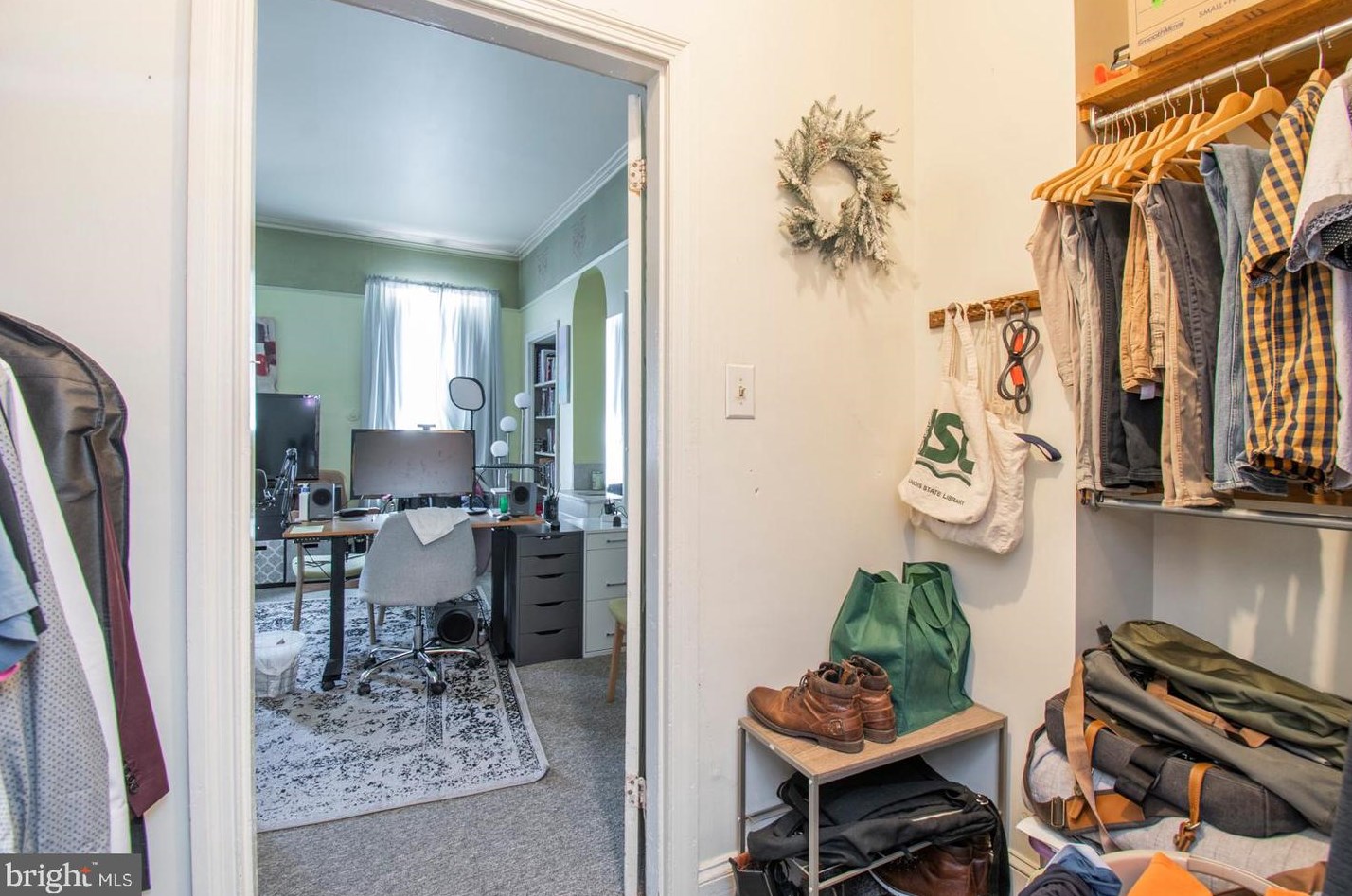
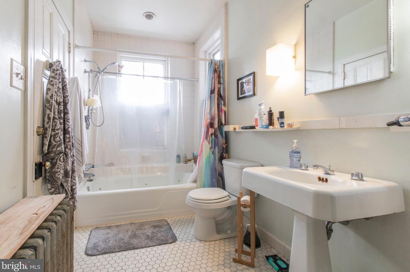
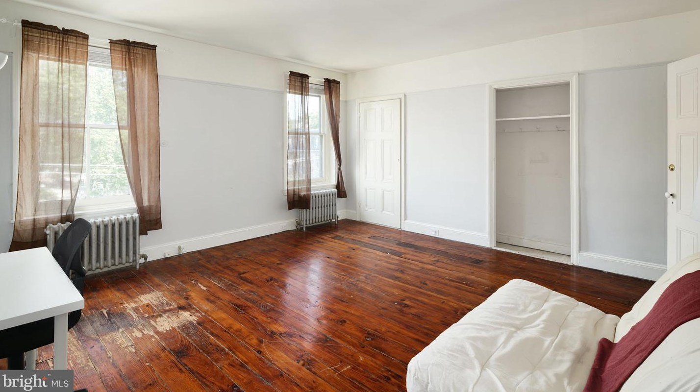
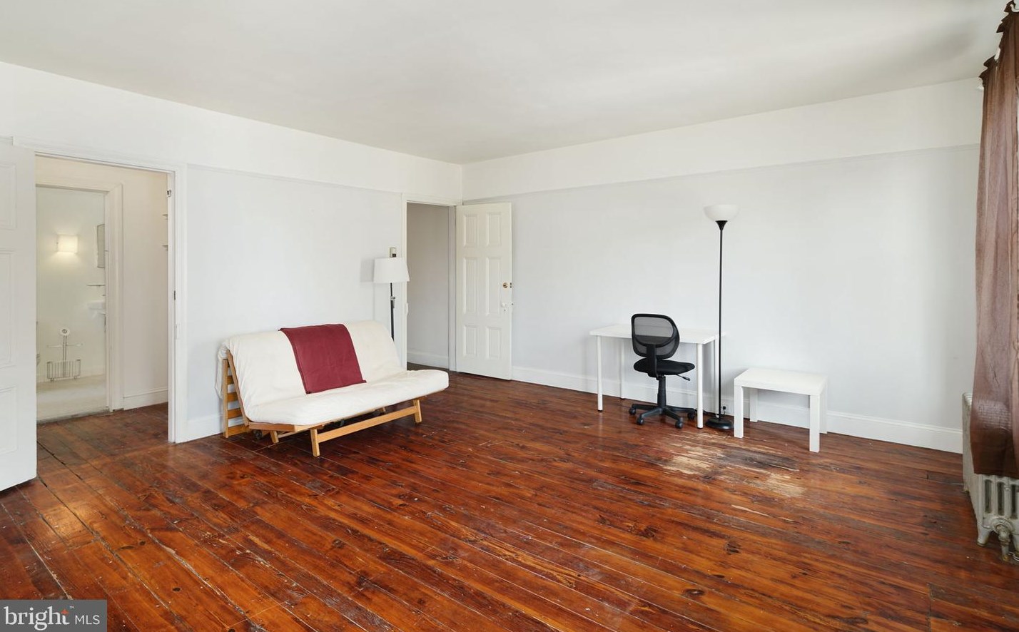
200 35th St
Price history :
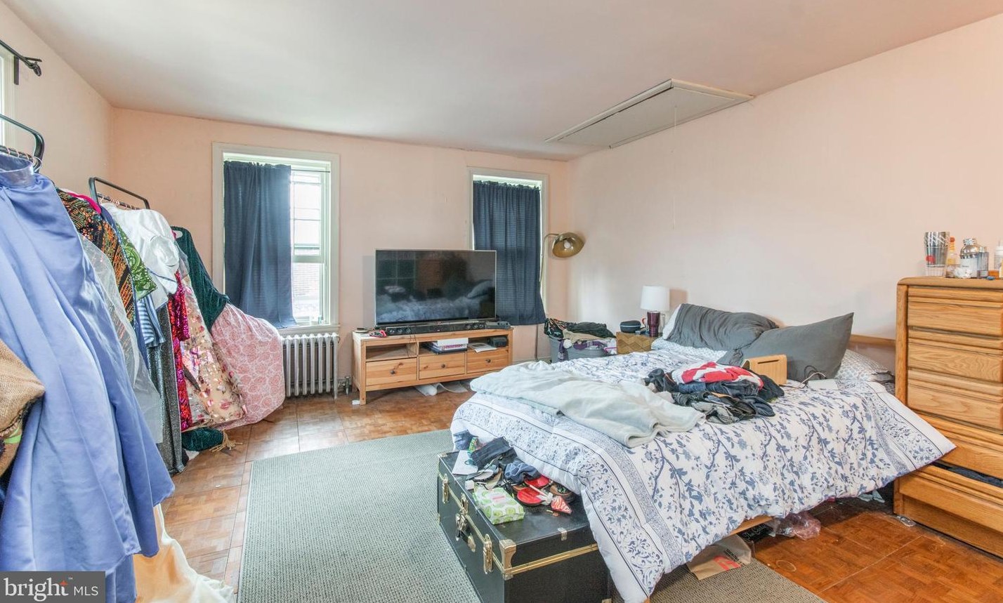
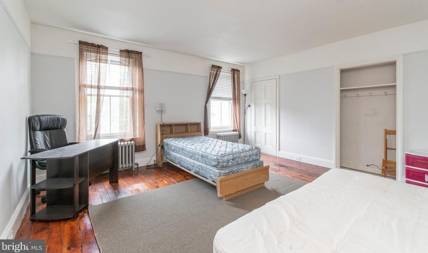
- 375 sqft
- 1 bed
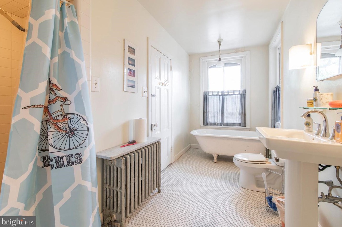
- 2.5 baths
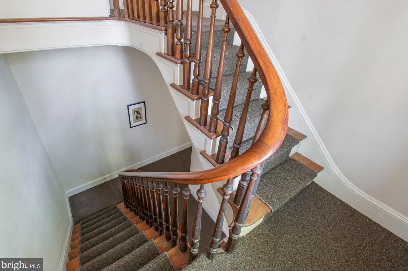
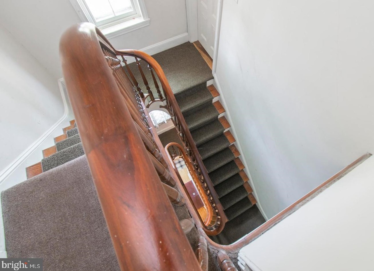
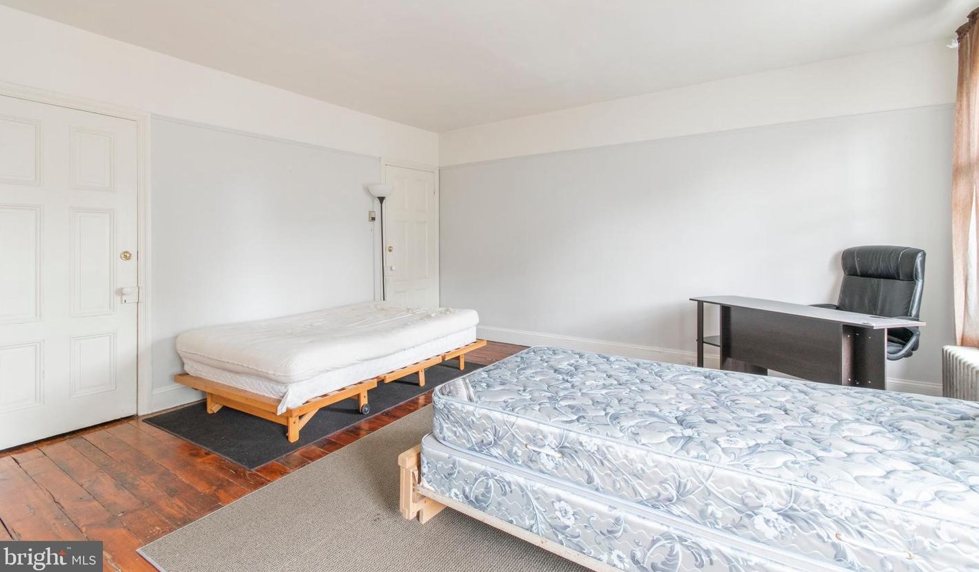
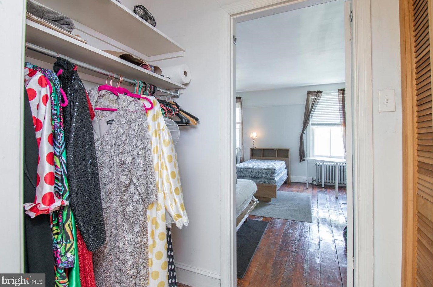
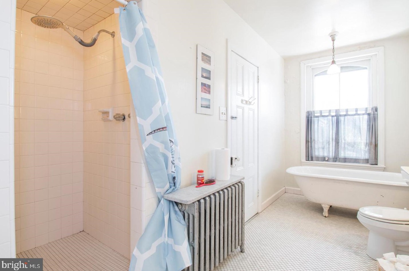
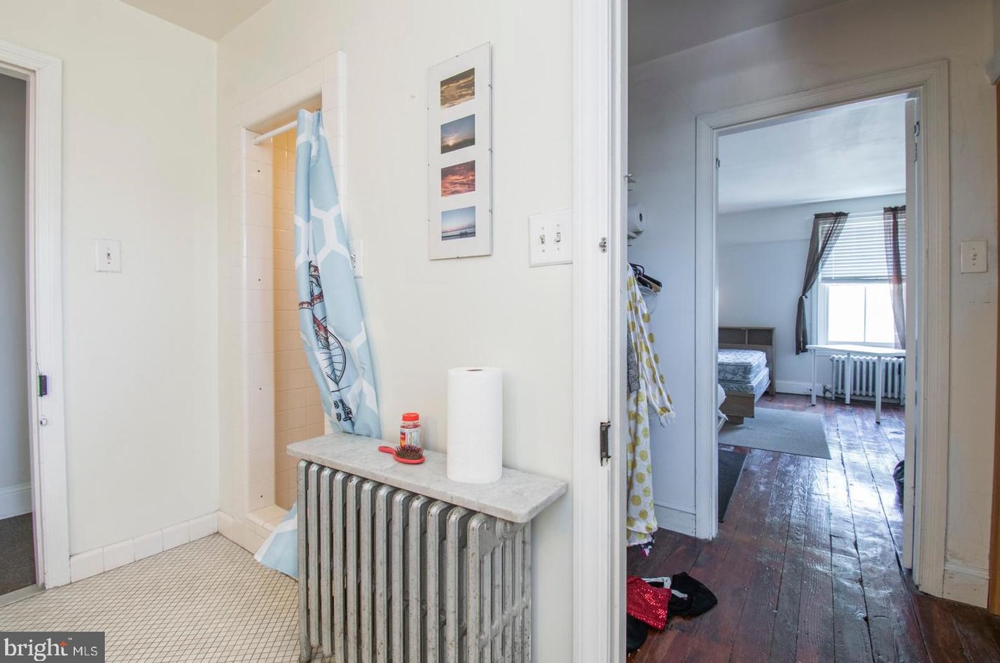
Great bedroom space in a large Victorian house shared with young professional/graduate students....
35th St Fire Incident History
To date, we have no information about fire incidents in 2025
11 Dec 2018
Special outside fire, other
Property Use —
Outside or special property, other
Area of Origin —
Outside area, other
First Ignition —
Heavy vegetation - not crop, including trees
Heat Source —
Arcing
25 Apr 2018
Outside rubbish fire, other
Property Use —
1 or 2 family dwelling
Area of Origin —
Outside area, other
First Ignition —
Item First Ignited, Other
Heat Source —
Heat from other open flame or smoking materials
13 Mar 2018
Building fires
Property Use —
1 or 2 family dwelling
Area of Origin —
Cooking area, kitchen
First Ignition —
Structural member or framing
Heat Source —
Heat from undetermined smoking material
18 Oct 2015
Building fires
Property Use —
1 or 2 family dwelling
Area of Origin —
Bedroom - < 5 persons; included are jail or prison
First Ignition —
Electrical wire, cable insulation
Heat Source —
Heat from powered equipment, other
200 35 St incidents registered in FEMA
(Federal Emergency Management Agency)
To date, we have no information about incidents registered in FEMA in 2025
23 May 2012
Power line down
Property Use —
Outside or special property, other
35 St Incidents registered in FEMA
(Federal Emergency Management Agency)
To date, we have no information about incidents registered in FEMA in 2025
12 Sep 2015
Power line down
Property Use —
1 or 2 family dwelling
23 May 2012
Power line down
Property Use —
Outside or special property, other
18 Oct 2010
Gasoline or other flammable liquid spill
Property Use —
Residential street, road or residential driveway
26 Sep 2010
Hazardous condition, other
Property Use —
1 or 2 family dwelling
Properties Nearby
| Street Address | Residens/Landlords | |
|---|---|---|
522 35 St, Philadelphia, PA 19104-2458 Lot/Land
|
||
535 35 St, Philadelphia, PA 19104-2459 Condo
|
Hattie Bond, Wesley W Bond | |
614 35 St, Philadelphia, PA 19104-1902 Row house (Residential)
|
S Easterling, Adam Perine | |
655 35 St, Philadelphia, PA 19104-1942 Single Family Residential
|
James Merritt, Rhiana C Merritt | |
661 35 St, Philadelphia, PA 19104-1942 Single Family Residential
|
Gary Barmore, Stella L Bowens | |
669 35 St, Philadelphia, PA 19104-1942 Single Family
|
||
729 35 St, Philadelphia, PA 19104-1603 Single Family
|
Schools near property
| Name | Type | Grade | Distance |
|---|---|---|---|
| Elementary school | |||
| Hamilton Andrew School 5640 Spruce St, Philadelphia, PA 19139 215-471-2911 | Public | K-8 | 2.28 |
| Harrity William F School 5601 Christian St, Philadelphia, PA 19143 215-471-2908 | Public | K-8 | 2.4 |
| Middle school | |||
| Sayre William L Middle School 5800 Walnut St, Philadelphia, PA 19139 215-471-2904 | Public | 9-12 | 2.43 |
| Beeber Dimner Middle School 5925 Malvern Ave, Philadelphia, PA 19131 215-581-5513 | Public | 6-8 | 3.24 |
| High school | |||
| Overbrook High School 5898 Lancaster Ave, Philadelphia, PA 19131 215-581-5507 | Public | 9-12 | 2.87 |
| Lamberton Robert High School 7501 Woodbine Ave, Philadelphia, PA 19151 215-581-5650 | Public | 9-12 | 4.05 |