Cost estimate history
| Year | Tax | Assessment | Market |
|---|---|---|---|
| 2014 | $5,049 | $162,600 | N/A |
Market Activities
Merrow Rd Fire Incident History
To date, we have no information about fire incidents in 2025
27 May 2016
Special outside fire, other
Area of Origin —
Highway, parking lot, street: on or near
First Ignition —
Chips, including wood chips
06 Mar 2016
Fire, other
Property Use —
Service station, gas station
Area of Origin —
Sales area, showroom (exclude display window)
First Ignition —
Multiple items first ignited
Heat Source —
Flame/torch used for lighting
27 Mar 2012
Passenger vehicle fire
Property Use —
Residential street, road or residential driveway
Area of Origin —
Engine area, running gear, wheel area
23 Jul 2011
Passenger vehicle fire
Property Use —
Vehicle parking area
Area of Origin —
Cargo/trunk area - all vehicles
First Ignition —
Light vegetation - not crop, including grass
Merrow Rd Incidents registered in FEMA
(Federal Emergency Management Agency)
To date, we have no information about incidents registered in FEMA in 2025
01 Nov 2015
Gasoline or other flammable liquid spill
Property Use —
Service station, gas station
01 Nov 2015
Electrical wiring/equipment problem, other
Property Use —
Electrical distribution
29 Oct 2015
Power line down
Property Use —
Electrical distribution
23 Aug 2015
Power line down
Property Use —
Service station, gas station
Properties Nearby
| Street Address | Residens/Landlords | |
|---|---|---|
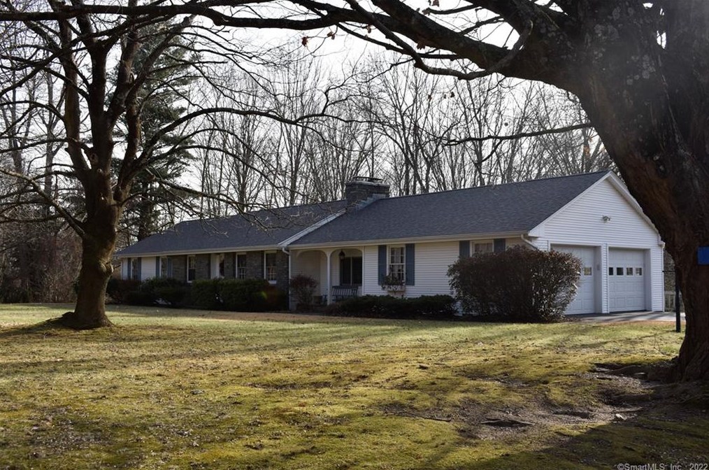
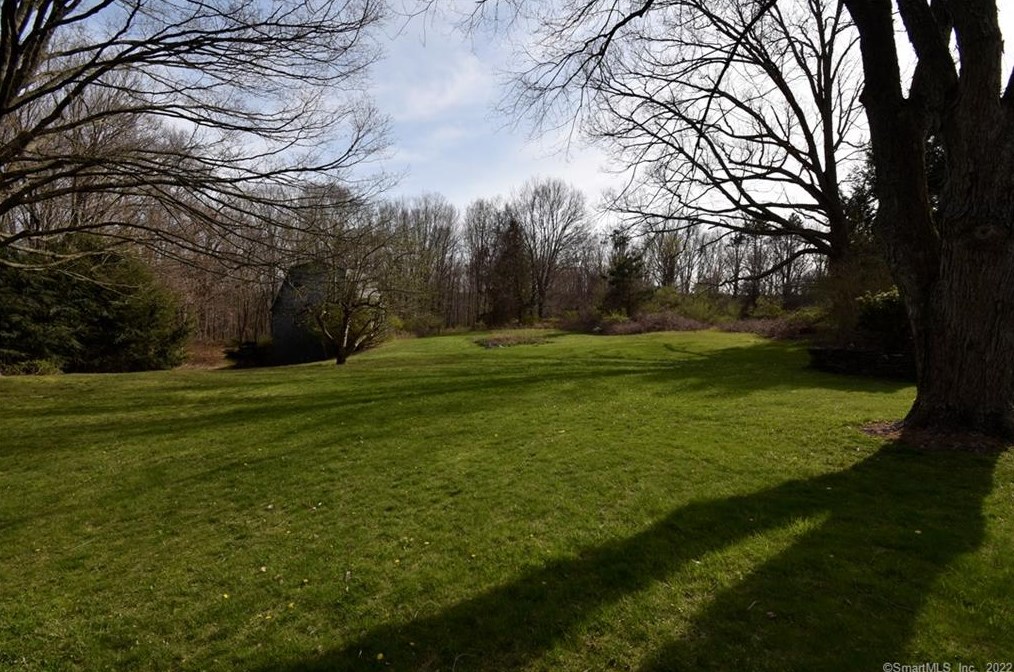
39 Merrow Rd, Tolland, CT 06084-3022 Single Family Residential
|
Fred Johansen, Madeline R Regan |