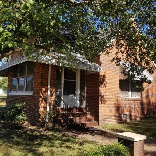
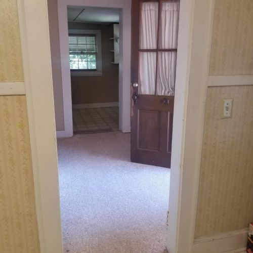
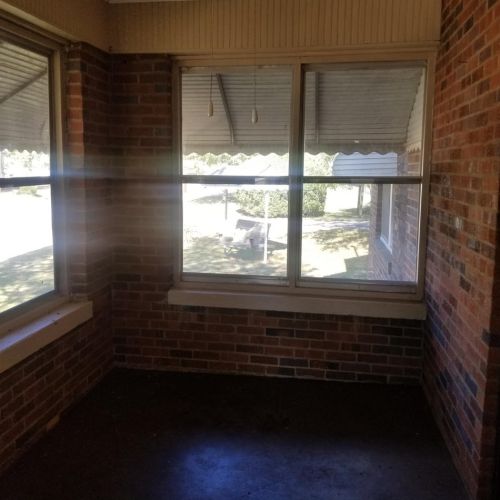
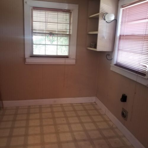
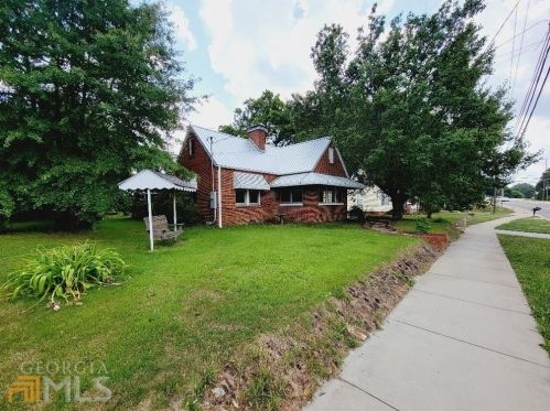
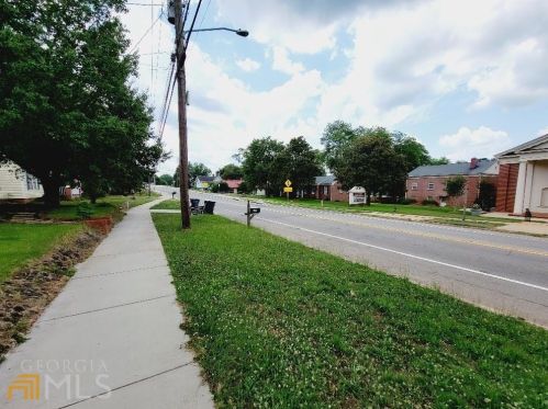
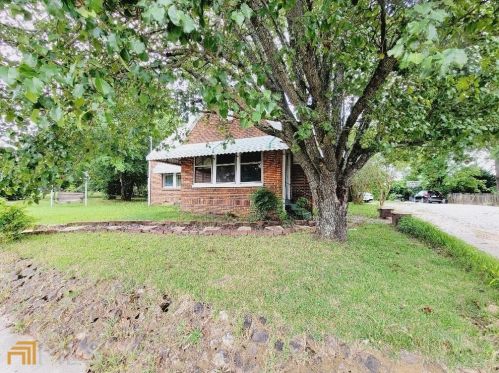
Cost estimate history
| Year | Tax | Assessment | Market |
|---|---|---|---|
| 2014 | N/A | $16,280 | $40,700 |
| 2013 | $207 | N/A | N/A |
Market Activities
To date, we have no information about market activities in 2025
Nov 2022
Sold
Jun 2022
Sold
Aug 2021
Sold
274 Cherokee Rd Fire Incident History
To date, we have no information about fire incidents in 2025
09 Nov 2015
Cooking fire, confined to container
Property Use —
1 or 2 family dwelling
Area of Origin —
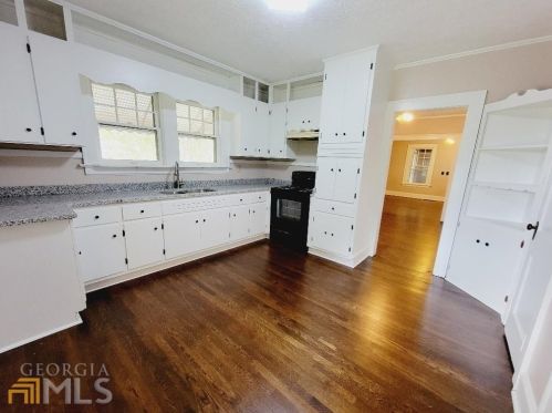
Cooking area, kitchen
First Ignition —
Cooking materials, including edible materials
Heat Source —
Radiated, conducted heat from operating equipment
Cherokee Rd Fire Incident History
To date, we have no information about fire incidents in 2025
07 Feb 2018
Fuel burner/boiler malfunction, fire confined
Property Use —
24-hour care Nursing homes, 4 or more persons
Area of Origin —
Duct: hvac, cable, exhaust, heating, or AC
First Ignition —
Electrical wire, cable insulation
Heat Source —
Radiated, conducted heat from operating equipment
27 Nov 2016
Grass fire
Property Use —
Street or road in commercial area
02 Nov 2016
Brush, or brush and grass mixture fire
Property Use —
Service station, gas station
Area of Origin —
Open area - outside; included are farmland, field
Heat Source —
Cigarette lighter
29 Mar 2016
Building fires
Property Use —
1 or 2 family dwelling
Area of Origin —
Wall surface: exterior
274 Cherokee Rd incidents registered in FEMA
(Federal Emergency Management Agency)
To date, we have no information about incidents registered in FEMA in 2025
26 Mar 2011
Carbon monoxide incident
Property Use —
1 or 2 family dwelling
Cherokee Rd Incidents registered in FEMA
(Federal Emergency Management Agency)
To date, we have no information about incidents registered in FEMA in 2025
10 Dec 2015
Gas leak (natural gas or LPG)
Property Use —
Church, mosque, synagogue, temple, chapel
23 Sep 2015
Gasoline or other flammable liquid spill
Property Use —
Service station, gas station
26 Aug 2015
Gas leak (natural gas or LPG)
Property Use —
Food and beverage sales, grocery store
26 Oct 2014
Unauthorized burning
Property Use —
Open land or field
Properties Nearby
| Street Address | Residens/Landlords | |
|---|---|---|
166 Cherokee Rd, Social Circle, GA 30025-2897 Single Family
|
City of Social Circle, West Realty | |
392 Cherokee Rd, Social Circle, GA 30025-2851 Single Family Residential
|
Vicki E Hubbard | |
522 Cherokee Rd, Social Circle, GA 30025-2874 Single Family
|
Sara Ozburn, Esma Sakonjic | |
546 Cherokee Rd, Social Circle, GA 30025-2874 Single Family Residential
|
Kimberly Duncan, Misty D Duncan | |
586 Cherokee Rd, Social Circle, GA 30025-2875 Single Family
|
Alice Brown, Shane D Carter | |
681 Cherokee Rd, Social Circle, GA 30025-2886 Single Family
|
Mayfield & Poole Heat & Air, Salley Dawson | |
755 Cherokee Rd, Social Circle, GA 30025-2885 Single Family Residential
|
Deanna M Cabe, Bryne Duren | |
855 Cherokee Rd, Social Circle, GA 30025-2883 Single Family
|
Sandra Crowley, Jennifer Foskey | |
905 Cherokee Rd, Social Circle, GA 30025-4020 Single Family Residential
|
Essie B Stapp, Michael W Stapp | |
1148 Cherokee Rd, Social Circle, GA 30025-2881 Multi Family
|
ATLANTA AUTO GLASS & ASSOCIATES, LLC, Harmony Cleaning Service |
