Cost estimate history
| Year | Tax | Assessment | Market |
|---|---|---|---|
| 2013 | $4,374 | N/A | N/A |
| 2012 | N/A | $53,400 | N/A |
| 2011 | N/A | N/A | $152,560 |
Market Activities
To date, we have no information about market activities in 2025
Jun 2024
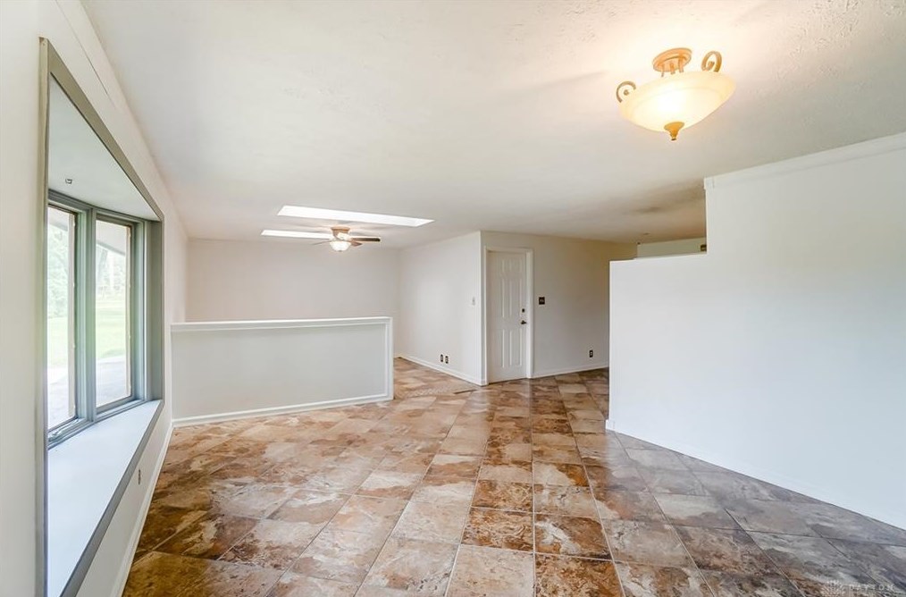
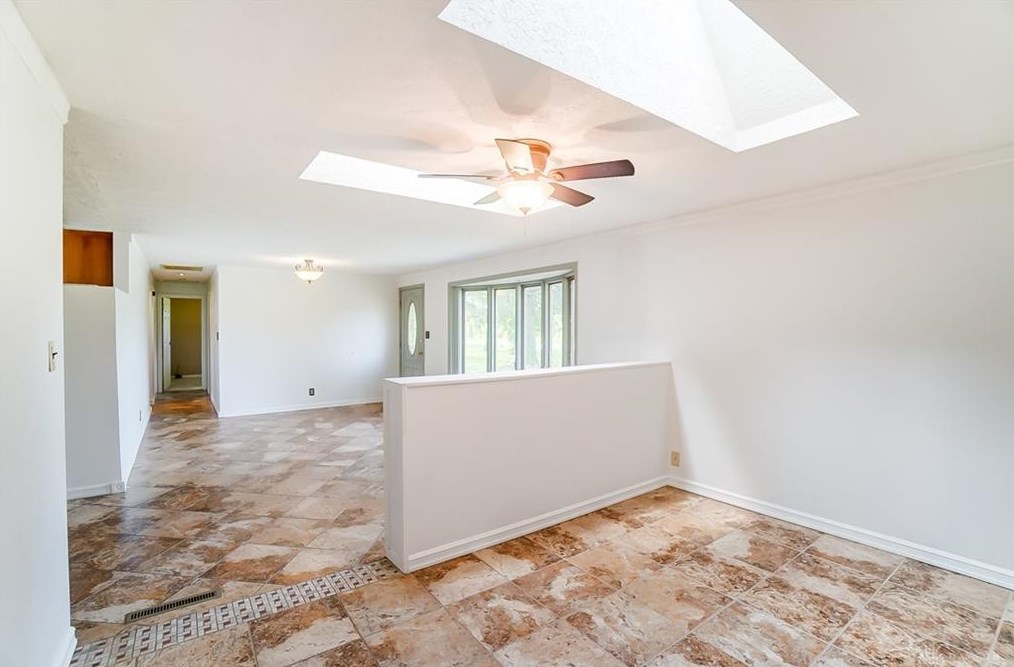
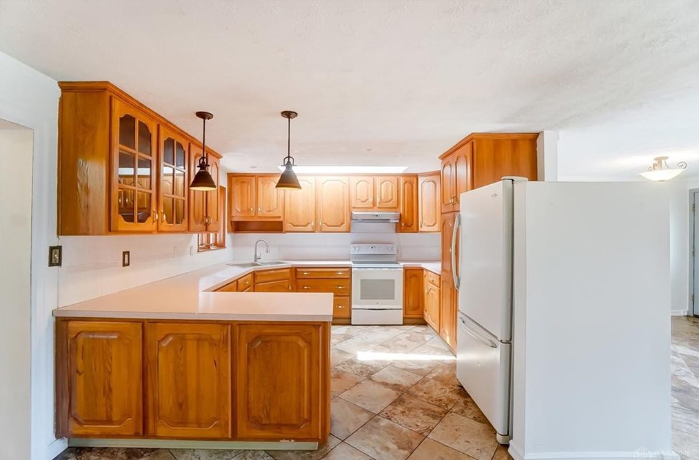
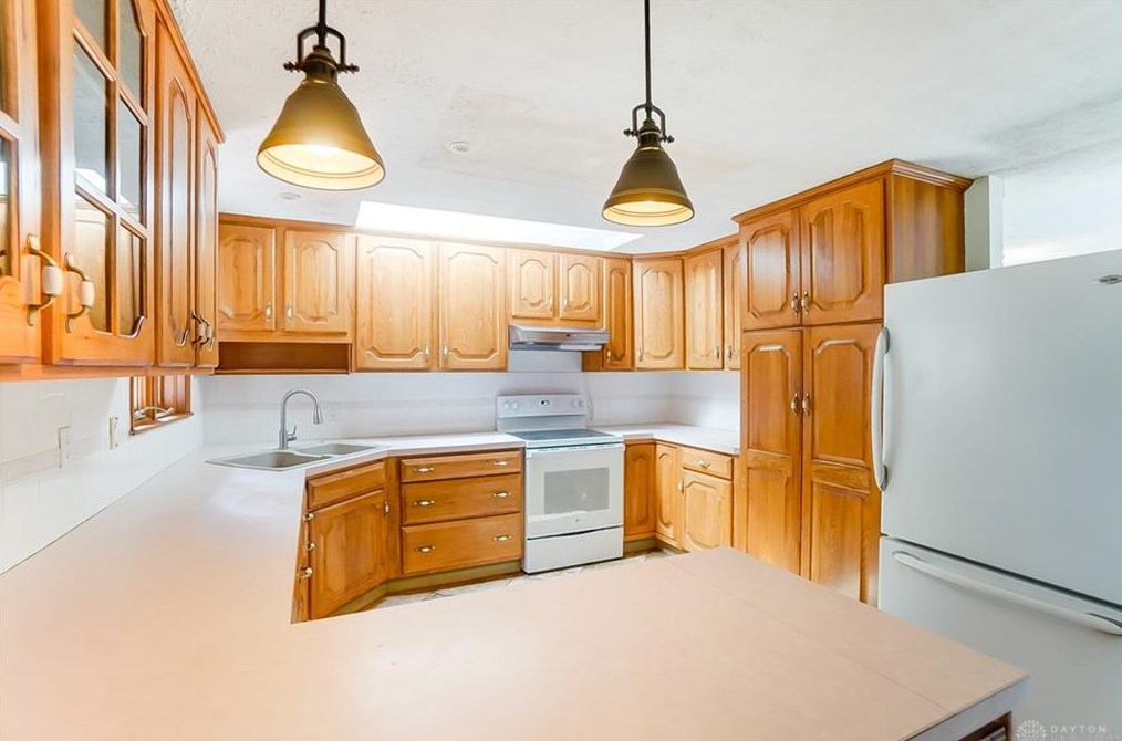
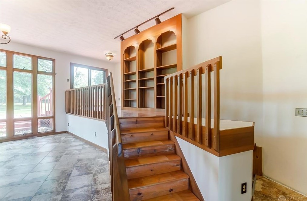
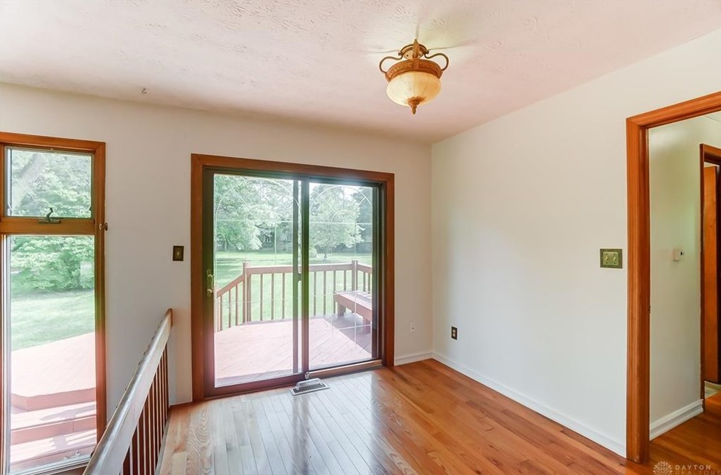
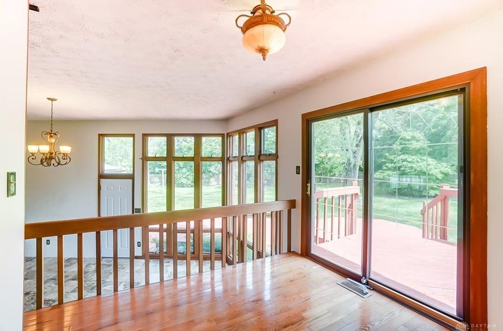
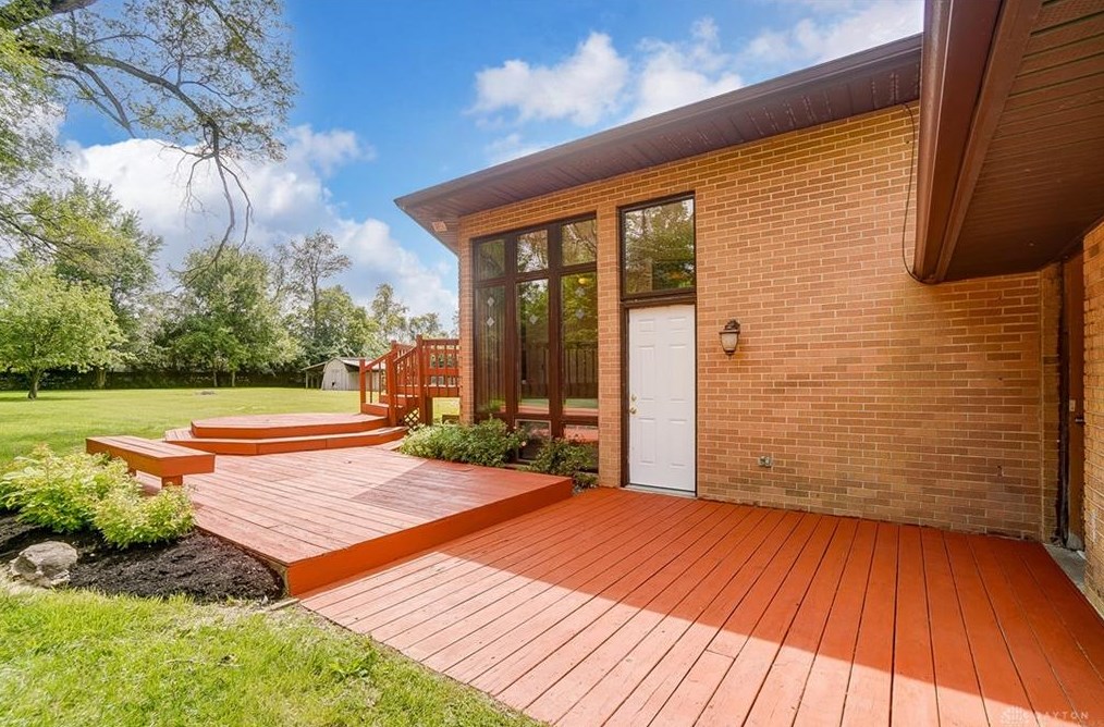
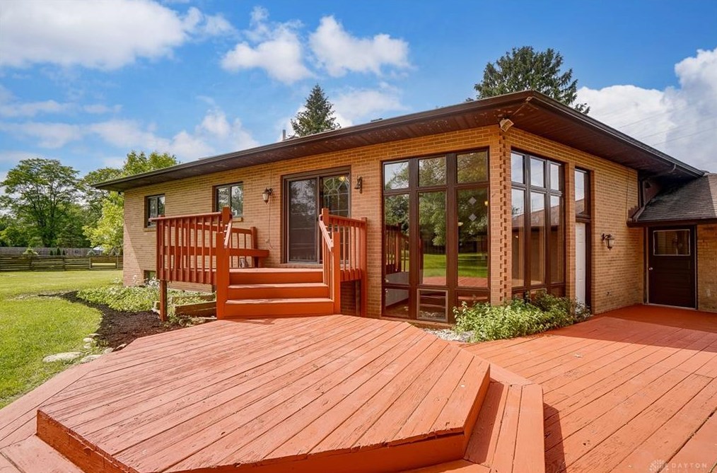
Listed for sale
May 2024
Listed for sale
May 2024
Listed for sale
Social Row Rd Fire Incident History
To date, we have no information about fire incidents in 2025
14 Nov 2019
Outside rubbish, trash or waste fire
Property Use —
1 or 2 family dwelling
Area of Origin —
Outside area, other
First Ignition —
Rubbish, trash, or waste
Heat Source —
Cigarette lighter
05 Aug 2019
Natural vegetation fire, other
Property Use —
Outside or special property, other
Area of Origin —
Exterior, exposed surface
First Ignition —
Organic materials, other
Heat Source —
Cigarette
10 Dec 2016
Brush, or brush and grass mixture fire
Property Use —
1 or 2 family dwelling
Area of Origin —
Wildland, woods
First Ignition —
Heavy vegetation - not crop, including trees
Heat Source —
Warning or road flare; fusee
25 May 2016
Brush, or brush and grass mixture fire
Property Use —
Open land or field
Area of Origin —
Open area - outside; included are farmland, field
First Ignition —
Heavy vegetation - not crop, including trees
Heat Source —
Hot ember or ash
Social Row Rd Incidents registered in FEMA
(Federal Emergency Management Agency)
To date, we have no information about incidents registered in FEMA in 2025
02 Dec 2014
Authorized controlled burning
Property Use —
1 or 2 family dwelling
01 Dec 2012
Unauthorized burning
Property Use —
1 or 2 family dwelling
05 Aug 2012
Gas leak (natural gas or LPG)
Property Use —
Open land or field
14 Jul 2012
Unauthorized burning
Property Use —
Open land or field
Properties Nearby
| Street Address | Residens/Landlords |
|---|