Cost estimate history
| Year | Tax | Assessment | Market |
|---|---|---|---|
| 2014 | $2,455 | $102,350 | $278,100 |
Market Activities
Bryant St Fire Incident History
To date, we have no information about fire incidents in 2025
15 Nov 2019
Building fires
Property Use —
1 or 2 family dwelling
Area of Origin —
Storage area, other
12 Dec 2018
Passenger vehicle fire
Property Use —
Residential street, road or residential driveway
Area of Origin —
Engine area, running gear, wheel area
First Ignition —
Electrical wire, cable insulation
Heat Source —
Heat from powered equipment, other
17 Apr 2017
Passenger vehicle fire
Property Use —
Residential street, road or residential driveway
Area of Origin —
Highway, parking lot, street: on or near
First Ignition —
Linen; other than bedding
Heat Source —
Chemical reaction
31 Mar 2017
Dumpster or other outside trash receptacle fire
Property Use —
Fixed use recreation places, other
Area of Origin —
Open area - outside; included are farmland, field
First Ignition —
Rubbish, trash, or waste
Heat Source —
Cigarette
Properties Nearby
| Street Address | Residens/Landlords | |
|---|---|---|
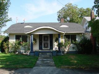
115 Bryant St, Portland, OR 97211-2303 Single Family Residential
|
Darrell E Graham, Pamela Graham | |
146 Bryant St, Portland, OR 97211-2304 Single Family Residential
|
Michael W Hanifin, Yvonne M Hanifin | |
149 Bryant St, Portland, OR 97211-2303 Single Family Residential
|
Earl E Benson, Nancy W Skinner |